Grasvatnet
Map

Map

Facts and practical information
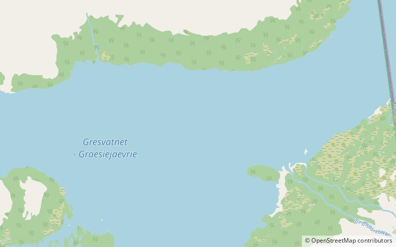
Gresvatnet or Gräsvattnet or Graesiejaevrie is a lake on the border between Norway and Sweden. Most of the lake lies in Hemnes Municipality in Nordland county and then a small portion crosses the border into Storuman Municipality in Västerbotten County. The lake lies about 25 kilometres east of the village of Korgen, and just a few kilometres northeast of the mountain Oksskolten and the Okstindbreen glacier. The lake is one of the upper reservoirs for the Bjerka Hydroelectric Power Station. ()
Local name: Gresvatnet Area: 10.26 mi²Length: 6.84 miWidth: 2.8 miElevation: 1962 ft a.s.l.Coordinates: 66°4'1"N, 14°28'11"E
Location
Nordland
ContactAdd
Social media
Add
Day trips
Grasvatnet – popular in the area (distance from the attraction)
Nearby attractions include: Oksskolten.

