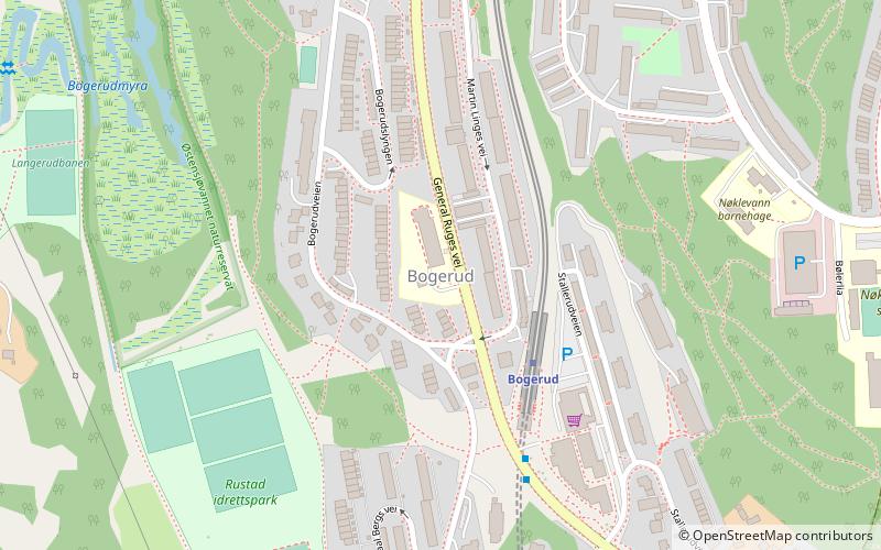
Bogerud, Oslo
Map

Map

Facts and practical information
Bogerud is a neighbourhood in Oslo, Norway. It is located southeast of the lake Østensjøvannet. The area belonging to the ancient Bogerud farm was developed from the early 1960s. ()
Address
Østensjø (Skullerud)Oslo
ContactAdd
Social media
Add
Day trips
Bogerud – popular in the area (distance from the attraction)
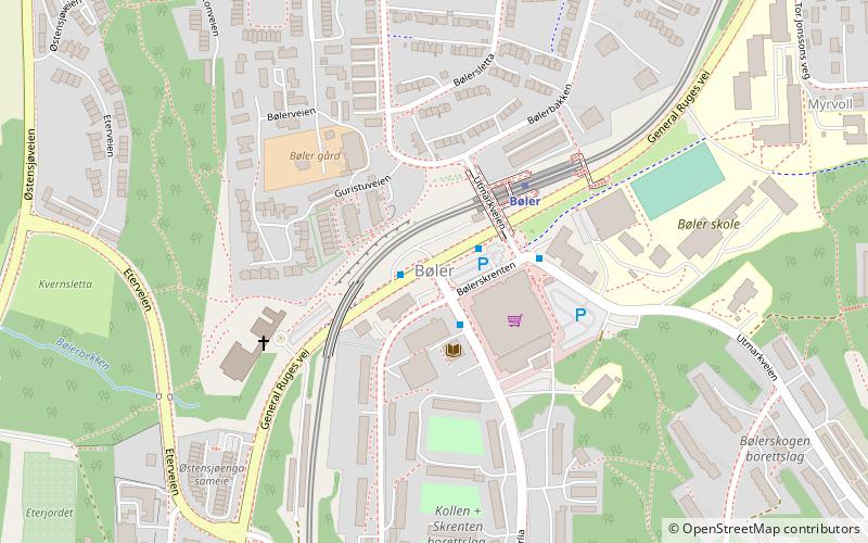
Nearby attractions include: Østensjøvannet, Lambertseter kirke, Nøklevann, Bøler.
Frequently Asked Questions (FAQ)
Which popular attractions are close to Bogerud?
Nearby attractions include Bøler, Oslo (12 min walk), Abildsø, Oslo (19 min walk), Østensjø, Oslo (22 min walk), Østensjøvannet, Oslo (24 min walk).
How to get to Bogerud by public transport?
The nearest stations to Bogerud:
Metro
Bus
Metro
- Bogerud (3 min walk)
- Bøler (14 min walk)
Bus
- Skullerud T (18 min walk)


