Jomfrubråten, Oslo
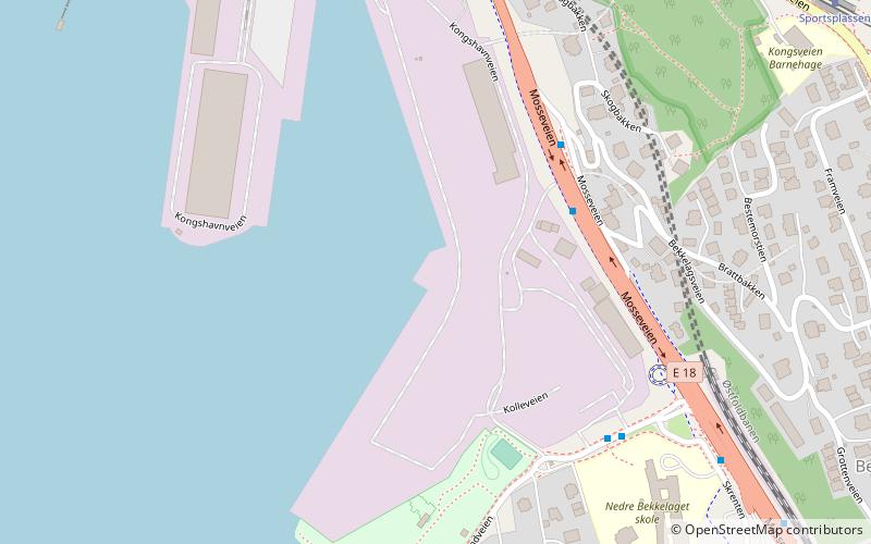
Map
Facts and practical information
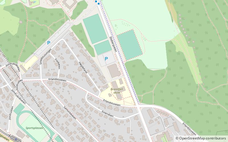
Jomfrubråten is a residential area of Nordstrand in Oslo, Norway. It is located approximately 3 kilometres away from the city centre. The area was disintegrated from Ekeberg in 1920, and made a residential area when the Ekeberg Line opened in 1917. A station with the same name serves the area on the Ekeberg Line, and formerly on the Simensbråten Line, but the latter line was closed in 1967. ()
Coordinates: 59°53'0"N, 10°45'60"E
Address
Nordstrand (Bekkelaget)Oslo
ContactAdd
Social media
Add
Day trips
Jomfrubråten – popular in the area (distance from the attraction)
Nearby attractions include: Ekebergparken, Ekeberg, Ormøy Church, Bekkelaget kirke.
Frequently Asked Questions (FAQ)
Which popular attractions are close to Jomfrubråten?
Nearby attractions include Bekkelaget Tunnel, Oslo (5 min walk), Bekkelaget, Oslo (6 min walk), Ormøy Church, Oslo (13 min walk), Ormøya, Oslo (13 min walk).
How to get to Jomfrubråten by public transport?
The nearest stations to Jomfrubråten:
Tram
Ferry
Tram
- Sportsplassen (9 min walk)
- Jomfrubråten (10 min walk)
Ferry
- Bleikøya (30 min walk)
