Ormøya, Oslo
Map
Map

Facts and practical information
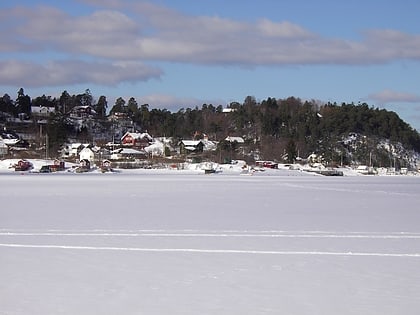
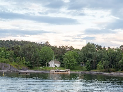
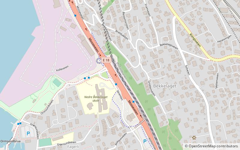
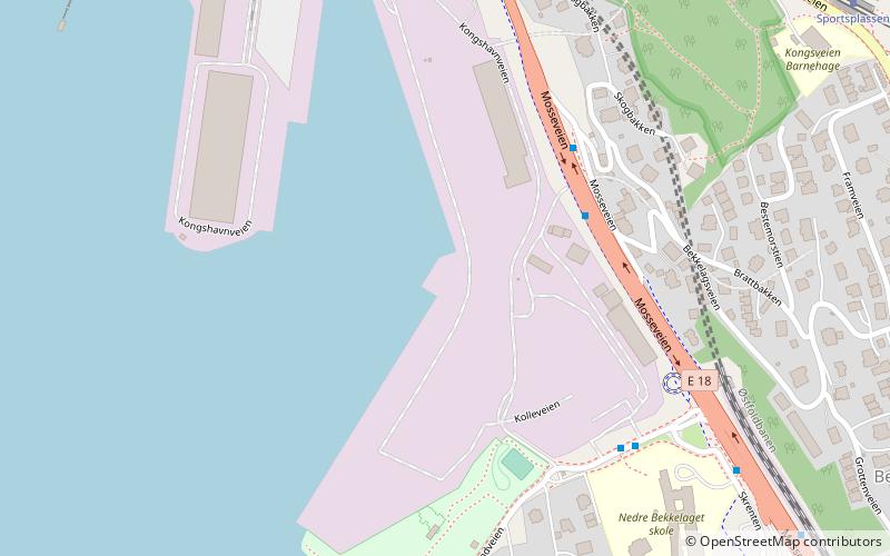
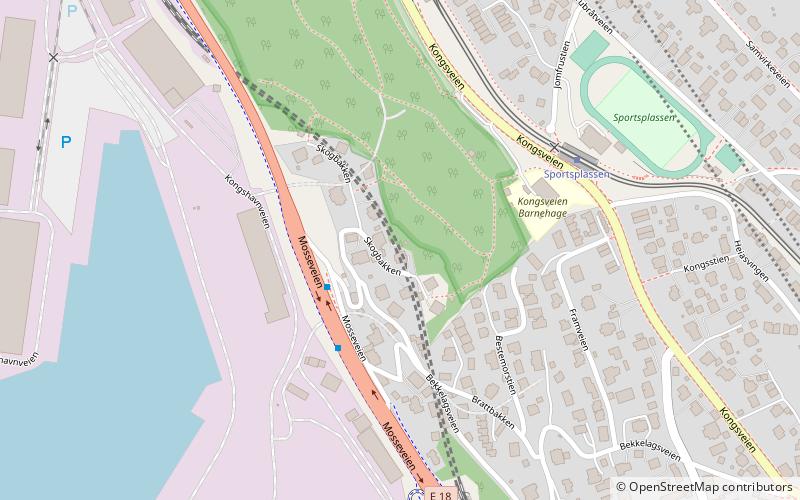
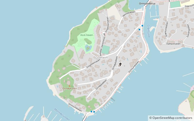
Ormøya is an inhabited island in the inner part of Oslofjord, in the municipality of Oslo. It is located north of the island Malmøya and west of the mainland at Bekkelaget / Nordstrand. A bridge over the strait Ormsundet connects the island to the mainland. The island covers an area of 0.18 square kilometres Ormøy Church, designed by architect Bernhard Steckmest, was built in the 1890s. On the island there are beaches, boating ports and a small park. ()
Address
Nordstrand (Bekkelaget)Oslo
ContactAdd
Social media
Add
Day trips
Ormøya – popular in the area (distance from the attraction)
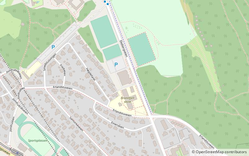
Nearby attractions include: Ormøy Church, Bekkelaget kirke, Ekebergsletta, Malmøya.
Frequently Asked Questions (FAQ)
Which popular attractions are close to Ormøya?
Nearby attractions include Ormøy Church, Oslo (2 min walk), Jomfrubråten, Oslo (13 min walk), Bekkelaget, Oslo (14 min walk), Ulvøya, Oslo (17 min walk).
How to get to Ormøya by public transport?
The nearest stations to Ormøya:
Tram
Ferry
Train
Tram
- Sportsplassen (21 min walk)
- Jomfrubråten (22 min walk)
Ferry
- Malmøykalven (23 min walk)
- Bleikøya (32 min walk)
Train
- Nordstrand (33 min walk)


