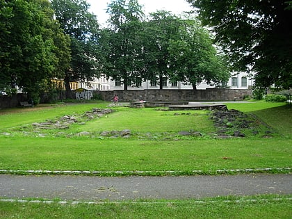
Etterstad, Oslo
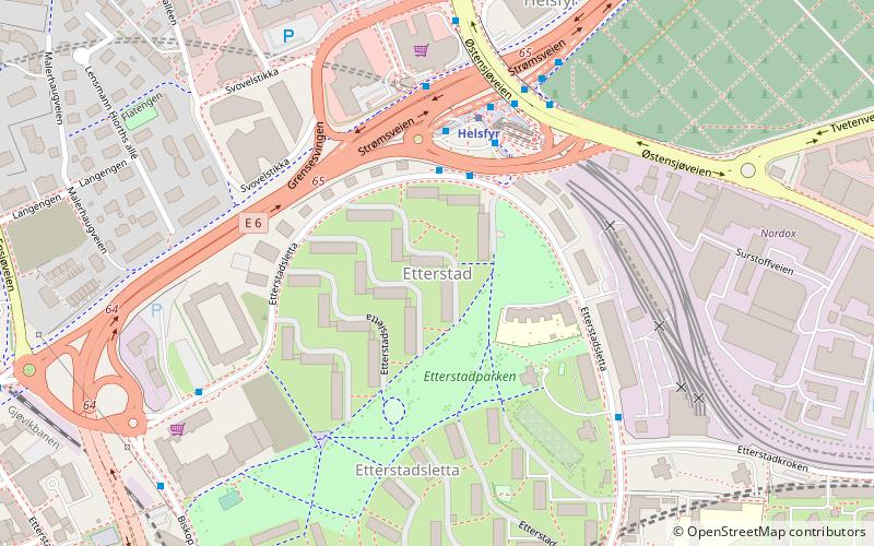
Map
Gallery
Facts and practical information
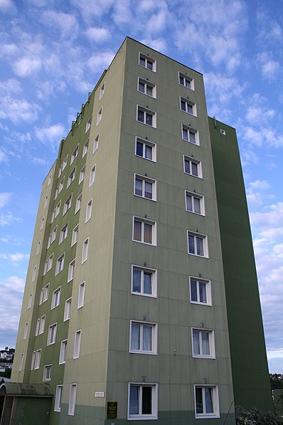
Etterstad is a neighborhood in Oslo, located between the river Alna and Strømsveien, north of Vålerenga. It was incorporated into Oslo in 1946, two years before the merger of Oslo and Aker. The area is mainly residential. ()
Address
Gamle Oslo (Helsfyr)Oslo
ContactAdd
Social media
Add
Day trips
Etterstad – popular in the area (distance from the attraction)
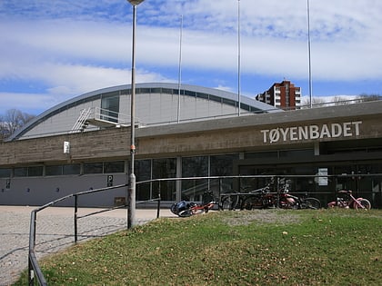
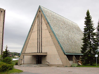
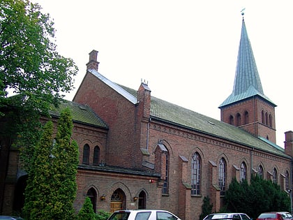
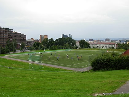
Nearby attractions include: Tøyenbadet, Nye Jordal Amfi, Manglerud Church, Kampen Church.
Frequently Asked Questions (FAQ)
Which popular attractions are close to Etterstad?
Nearby attractions include Helsfyr, Oslo (6 min walk), Romerike Tunnel, Oslo (12 min walk), Vålerenga, Oslo (13 min walk), Valle Hovin, Oslo (14 min walk).
How to get to Etterstad by public transport?
The nearest stations to Etterstad:
Metro
Bus
Train
Tram
Metro
- Helsfyr (3 min walk)
- Brynseng (11 min walk)
Bus
- Helsfyr T (3 min walk)
Train
- Bryn (18 min walk)
- Tøyen (25 min walk)
Tram
- Oslo Hospital (33 min walk)
- Lakkegata skole (33 min walk)

