Løvstakksiden, Bergen
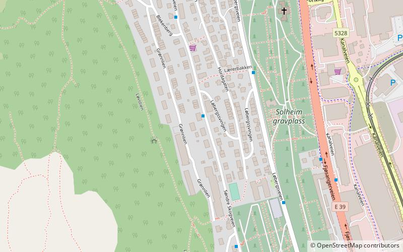
Map
Facts and practical information
Løvstakksiden, commonly shortened to Løvstakken or simply Stakken, is a neighbourhood in the city of Bergen in Vestland county, Norway. Currently it is part of the borough of Årstad, but before 2000 it was part of a borough called "Løvstakken" which covered the eastern and western sides of the mountain Løvstakken, consisting of Fyllingsdalen in the west and Løvstakksiden in the east. ()
Coordinates: 60°22'8"N, 5°20'9"E
Address
Årstad (Solheim Sør)Bergen
ContactAdd
Social media
Add
Day trips
Løvstakksiden – popular in the area (distance from the attraction)
Nearby attractions include: Brann Stadion, Løvstakken, Store Lungegårdsvannet, Nygårdsparken.
Frequently Asked Questions (FAQ)
Which popular attractions are close to Løvstakksiden?
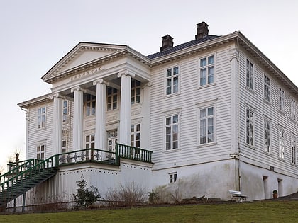
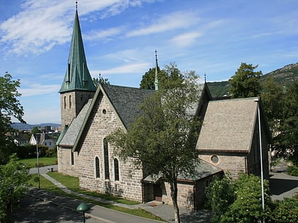
Nearby attractions include Solheim Church, Bergen (7 min walk), Kronstad, Bergen (14 min walk), Danmarksplass, Bergen (14 min walk), Solheimsviken, Bergen (16 min walk).
How to get to Løvstakksiden by public transport?
The nearest stations to Løvstakksiden:
Bus
Tram
Light rail
Bus
- Søndre Skogveien nord • Lines: 10 (5 min walk)
- Kristian Bings vei • Lines: 10 (5 min walk)
Tram
- Kronstad • Lines: 1 (12 min walk)
- Danmarks plass • Lines: 1 (13 min walk)
Light rail
- Kronstad • Lines: 1 (12 min walk)
- Danmarks plass • Lines: 1 (13 min walk)


