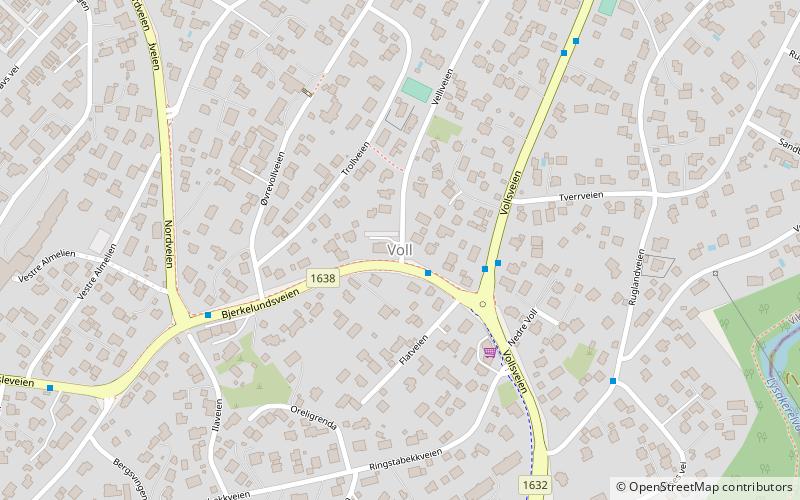
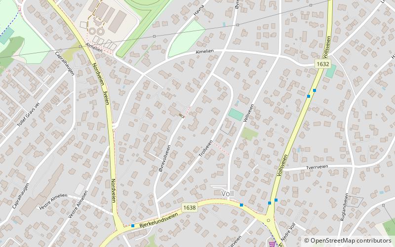
Voll, Oslo
Map
Facts and practical information
Voll is a district in eastern Bærum, Norway. ()
Coordinates: 59°55'51"N, 10°37'7"E
Address
Oslo
ContactAdd
Social media
Add
Getting there by public transportation
Public transportation stops near this location
- Metro
- Bus
- Tram
- Train
 Metro
Metro
- Calculate routeJar 9 min walk
- Calculate routeBjørnsletta 16 min walk
- Calculate routeØsterås 18 min walk
- Calculate routeLijordet 18 min walk
- Calculate routeJar 9 min walk
- Calculate routeBjørnsletta 16 min walk
- Calculate routeØsterås 18 min walk
- Calculate routeLijordet 18 min walk
- Calculate routeJar 11 min walk
- Calculate routeØraker 14 min walk
- Calculate routeLilleaker 24 min walk
- Calculate routeSollerud 28 min walk
- Calculate routeBekkestua bussterminal 36 min walk
- Calculate routeRingstabekkveien 36 min walk
- Calculate routeStabekk skole 36 min walk
Day trips


Frequently Asked Questions (FAQ)
Which popular attractions are close to Voll?
Nearby attractions include Øvrevoll, Oslo (3 min walk), Øvrevoll Galoppbane, Bærum (14 min walk).
How to get to Voll by public transport?
The nearest stations to Voll:
Metro
Train
Tram
Bus
Metro
- Jar (9 min walk)
- Bjørnsletta (16 min walk)
Train
- Jar (9 min walk)
- Bjørnsletta (16 min walk)
Tram
- Jar (11 min walk)
- Øraker (14 min walk)
Bus
- Bekkestua bussterminal (36 min walk)
- Ringstabekkveien • Lines: 225 (36 min walk)