Rosenhoff, Oslo
Map
Facts and practical information
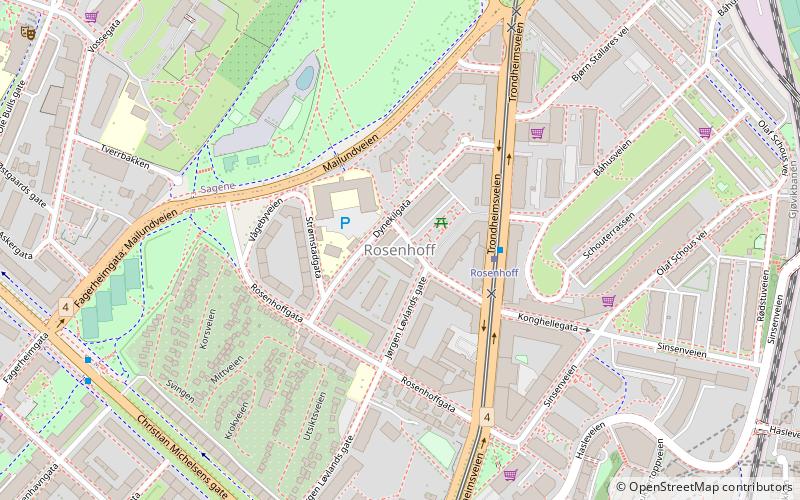
Rosenhoff is a neighbourhood of Helsfyr, Oslo. It lies north of Carl Berners plass and Rodeløkka, south and east of the park area of Torshovdalen, and west of Sinsenbyen. The neighborhood is built on the site of the former Rosenhoff locks, is triangular, and borders Mailundveien to the northwest, Rosenhoffsgata to the south, and Trondheimsveien to the east. The tram also runs through this part of Trondheimsveien, and there is a tram stop at Rosenhoff. ()
Address
Grünerløkka (Sinsen)Oslo
ContactAdd
Social media
Add
Getting there by public transportation
Public transportation stops near this location
- Metro
- Tram
- Train
 Metro
Metro
- Calculate routeRosenhoff 2 min walk
- Calculate routeCarl Berners plass 7 min walk
- Calculate routeSinsenterrassen 8 min walk
- Calculate routeTorshov 13 min walk
- Calculate routeCarl Berners plass 9 min walk
- Calculate routeTøyen 18 min walk
- Calculate routeGrefsen 21 min walk
- Calculate routeCarl Berners plass 9 min walk
- Calculate routeLøren 13 min walk
- Calculate routeSinsen 13 min walk
- Calculate routeHasle 20 min walk
Day trips


Frequently Asked Questions (FAQ)
Which popular attractions are close to Rosenhoff?
Nearby attractions include Carl Berners plass, Oslo (8 min walk), Lilleborg Church, Oslo (9 min walk), Sinsenparken, Oslo (10 min walk), Sinsen, Oslo (10 min walk).
How to get to Rosenhoff by public transport?
The nearest stations to Rosenhoff:
Tram
Train
Metro
Tram
- Rosenhoff (2 min walk)
- Carl Berners plass (7 min walk)
Train
- Carl Berners plass (9 min walk)
- Tøyen (18 min walk)
Metro
- Carl Berners plass (9 min walk)
- Løren (13 min walk)