Midtre Skagastølstind, Jotunheimen
Map

Map

Facts and practical information
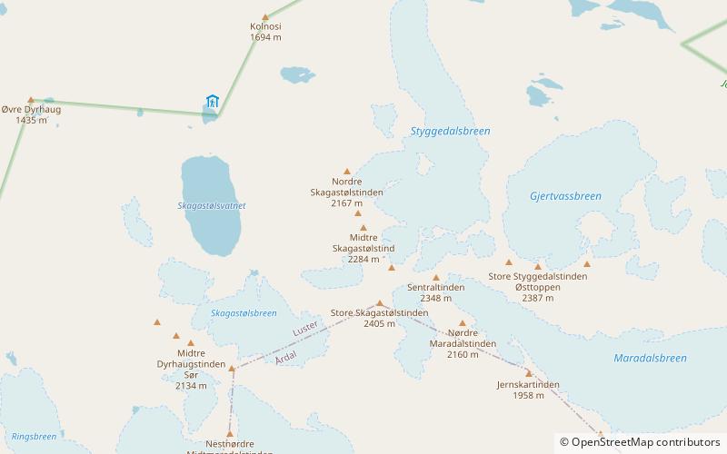
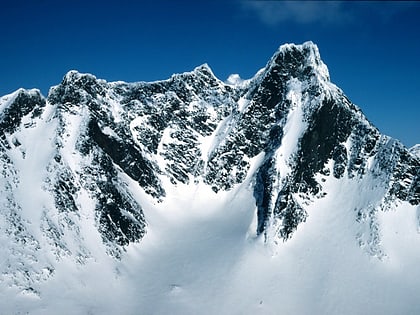
Midtre Skagastølstind is one of the peaks constituting Skagastølstindane in the Hurrungane mountain range. The 2,284-metre tall mountain lies in the eastern part of the municipality of Luster in Vestland county, Norway. The mountain lies in between Nordre Skagastølstind, Vetle Skagastølstind, and Store Skagastølstind. The mountains Store Styggedalstinden, Jervvasstind, and Sentraltind all lie about 1 to 2 kilometres to the east of this mountain. The village of Skjolden lies about 15 kilometres to the west. ()
Alternative names: First ascent: 1884Elevation: 7493 ftProminence: 262 ftCoordinates: 61°28'5"N, 7°52'8"E
Address
Jotunheimen
ContactAdd
Social media
Add
Day trips
Midtre Skagastølstind – popular in the area (distance from the attraction)
Nearby attractions include: Vetle Skagastølstind, Sentraltind, Store Skagastølstind, Store Styggedalstinden.
Frequently Asked Questions (FAQ)
Which popular attractions are close to Midtre Skagastølstind?
Nearby attractions include Vetle Skagastølstind, Jotunheimen (8 min walk), Store Skagastølstind, Jotunheimen (13 min walk), Sentraltind, Jotunheimen (14 min walk).


