Sentraltind, Jotunheimen
Map

Map

Facts and practical information
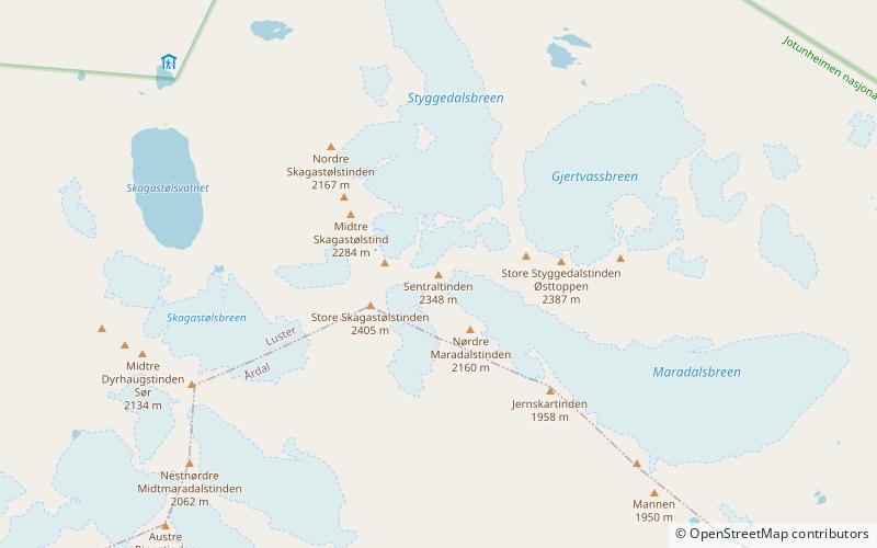
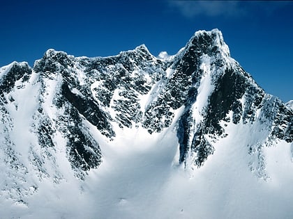
Sentraltind is a mountain in the Hurrungane mountains in the Jotunheimen mountain range. The 2,348-metre tall mountain is located in the eastern part of the municipality of Luster in Vestland county, Norway. It is the 10th highest summit in Norway. Sentraltind lies on a ridge between Store Skagastølstind-Vetle Skagastølstind and Store Styggedalstind-Jervvasstind. The mountain is 16 kilometres east of the village of Skjolden. ()
Day trips
Sentraltind – popular in the area (distance from the attraction)
Nearby attractions include: Vetle Skagastølstind, Midtre Skagastølstind, Store Skagastølstind, Store Styggedalstinden.
Frequently Asked Questions (FAQ)
Which popular attractions are close to Sentraltind?
Nearby attractions include Vetle Skagastølstind, Jotunheimen (8 min walk), Store Skagastølstind, Jotunheimen (10 min walk), Midtre Skagastølstind, Jotunheimen (14 min walk), Store Styggedalstinden, Jotunheimen (16 min walk).


