Bekkelaget Tunnel, Oslo
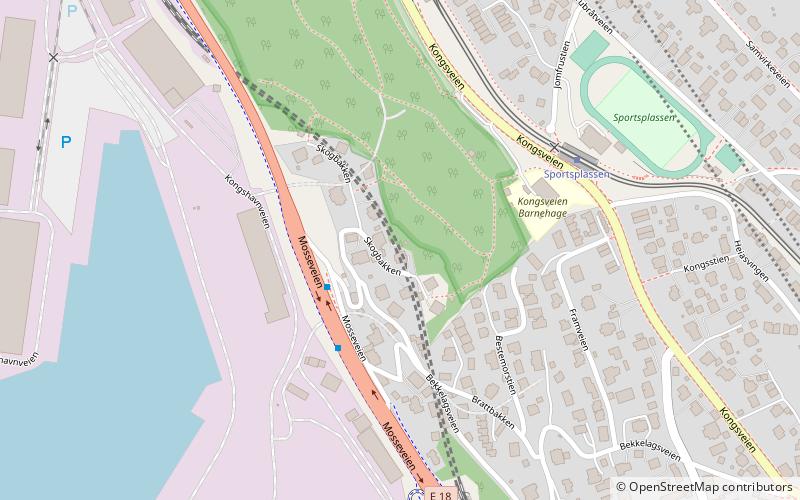
Map
Facts and practical information
The Bekkelaget Tunnel is a 578-meter long railway tunnel which carries two tracks of the Østfold Line past Bekkelaget in Oslo, Norway. Construction started 14 April 1955, after a landslide on 3 October 1953 had caused damage to the railway. The tunnel was built to allow for space for the road of Mosseveien. The tunnel opened on 7 October 1958. Bekkelaget Station was located on the section of track which was closed, and a new station was built at the southern mouth. It closed on 29 May 1983. ()
Coordinates: 59°53'6"N, 10°46'15"E
Address
Nordstrand (Bekkelaget)Oslo
ContactAdd
Social media
Add
Day trips
Bekkelaget Tunnel – popular in the area (distance from the attraction)
Nearby attractions include: Ekebergparken, Ekeberg, Ormøy Church, Bekkelaget kirke.
Frequently Asked Questions (FAQ)
Which popular attractions are close to Bekkelaget Tunnel?
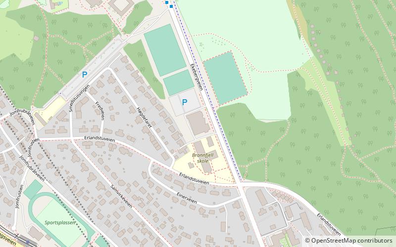
Nearby attractions include Jomfrubråten, Oslo (5 min walk), Bekkelaget, Oslo (6 min walk), EKT Riding School and Husdyrpark, Oslo (14 min walk), Bekkelaget kirke, Oslo (16 min walk).
How to get to Bekkelaget Tunnel by public transport?
The nearest stations to Bekkelaget Tunnel:
Tram
Metro
Tram
- Sportsplassen (4 min walk)
- Jomfrubråten (6 min walk)
Metro
- Brattlikollen (28 min walk)
- Ryen (36 min walk)
