Namdalen, Blåfjella–Skjækerfjella National Park

Gallery (2)
Map
Map
Gallery
Facts and practical information
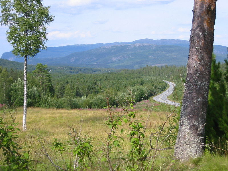
Namdalen is a traditional district in the central part of Norway, consisting of the municipalities Namsos, Grong, Overhalla, Røyrvik, Nærøysund, Høylandet, Flatanger, Lierne, Leka, and Namsskogan, all in Trøndelag county. The district has tree towns: Namsos, Rørvik and Kolvereid. The whole district covers about 11,860 square kilometres and has about 35,000 residents. ()
Address
Blåfjella–Skjækerfjella National Park
ContactAdd
Social media
Add