Ostøya, Oslo
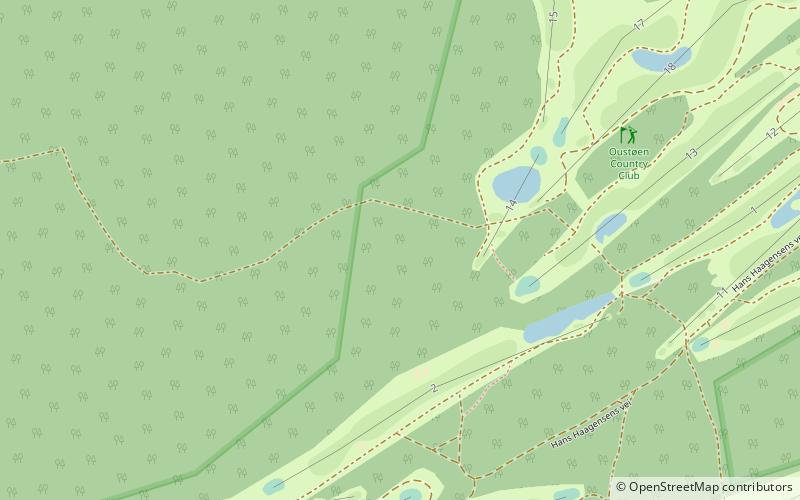
Map
Facts and practical information
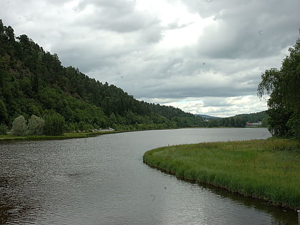
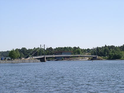
Ostøya is an island in the western section of Oslofjord, within the borders of the municipality of Bærum. It is the second largest island in the Oslo basin, after Nesøya. It is adjacent to the municipal border with Asker, where Nesøya and Brønnøya are to its northwest and southwest, respectively. Within Bærum, Borøya is to the north, Kjeholmen to the northeast, and Grimsøya to the east. To the south is Gåsøya. ()
Alternative names: Maximum elevation: 177 ftArchipelago: VestfjordenCoordinates: 59°52'2"N, 10°34'14"E
Address
Oslo
ContactAdd
Social media
Add
Day trips
Ostøya – popular in the area (distance from the attraction)
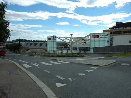
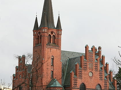
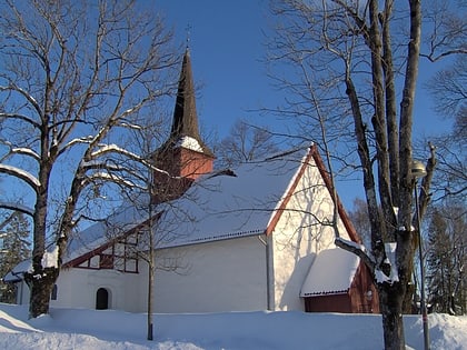
Nearby attractions include: Sandvika Storsenter, CC Vest, Henie Onstad Kunstsenter, Høvik kirke.
Frequently Asked Questions (FAQ)
How to get to Ostøya by public transport?
The nearest stations to Ostøya:
Ferry
Ferry
- Ostøya (13 min walk)
- Brønnøya Ø (16 min walk)
