Kolsberg, Kristiansand
Map
Map

Facts and practical information
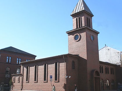
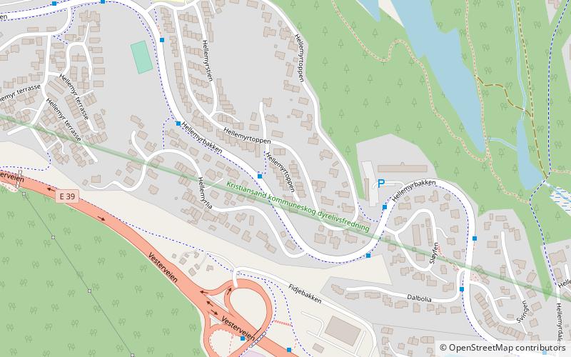
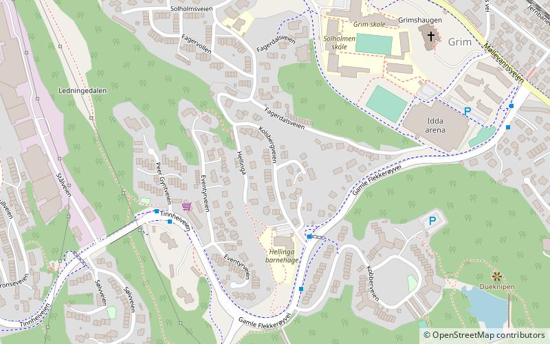
Kolsberg is a neighbourhood in the city of Kristiansand in Agder county, Norway. It is located in the borough of Grim. The apartments at Kolsberg in the hills can be seen from the European route E39 highway passing to the south. ()
Coordinates: 58°8'45"N, 7°58'3"E
Address
Kristiansand
ContactAdd
Social media
Add
Day trips
Kolsberg – popular in the area (distance from the attraction)
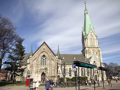
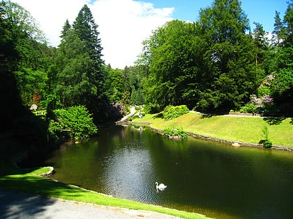
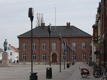
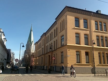
Nearby attractions include: Kristiansand Cathedral, Ravnedalen, Kristiansand City Hall, Sørlandets Art Museum.
Frequently Asked Questions (FAQ)
Which popular attractions are close to Kolsberg?
Nearby attractions include Fagervoll, Kristiansand (5 min walk), Grim, Kristiansand (7 min walk), Grim, Kristiansand (7 min walk), Idda, Kristiansand (8 min walk).
How to get to Kolsberg by public transport?
The nearest stations to Kolsberg:
Bus
Ferry
Train
Bus
- Grimsbrua • Lines: 15 (10 min walk)
- Bryggeriet • Lines: 15 (12 min walk)
Ferry
- Kristiansand • Lines: E 39 (17 min walk)
Train
- Kristiansand (19 min walk)

