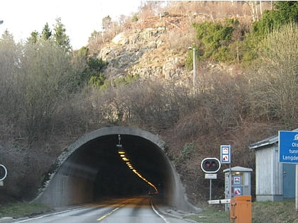
Olsvik Tunnel, Bergen
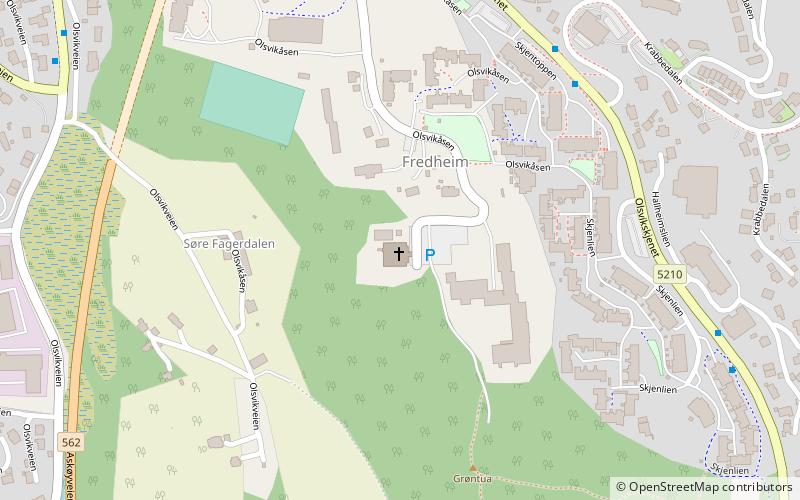
Map
Map

Facts and practical information
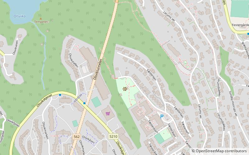
The Olsvik Tunnel is a 1,074-meter long road tunnel in the city of Bergen in Vestland county, Norway. The tunnel opened on 12 December 1992 and it is part of County Road 562. The tunnel connects the southern end of the Askøy Bridge to National Road 555, one of the main highways in western Bergen. ()
Address
Laksevåg (Kjøkkelvik)Bergen
ContactAdd
Social media
Add
Day trips
Olsvik Tunnel – popular in the area (distance from the attraction)
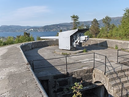
Nearby attractions include: Askøy Bridge, Lyderhorn, Byfjorden, Strusshamn Church.
Frequently Asked Questions (FAQ)
Which popular attractions are close to Olsvik Tunnel?
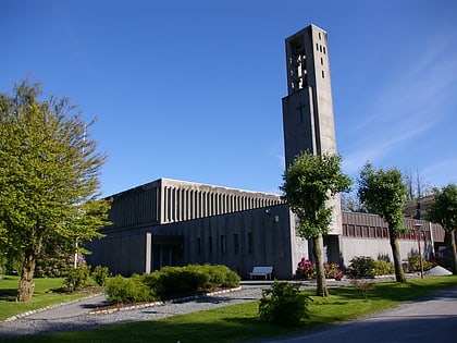
Nearby attractions include Kjøkkelvik, Bergen (12 min walk), Olsvik, Bergen (12 min walk), Olsvik Church, Bergen (14 min walk), Askøy Bridge, Bergen (18 min walk).
How to get to Olsvik Tunnel by public transport?
The nearest stations to Olsvik Tunnel:
Bus
Bus
- Godviksvingane • Lines: 441 Bergen busstasjon - Hjeltery, 441 Hjelteryggen - Bergen bussta (22 min walk)
- Øvre Godvik • Lines: 441 Bergen busstasjon - Hjeltery, 441 Hjelteryggen - Bergen bussta (23 min walk)
