Lyderhorn, Bergen
Facts and practical information
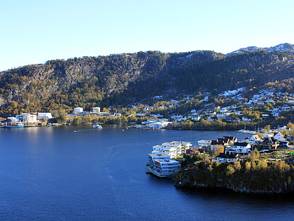
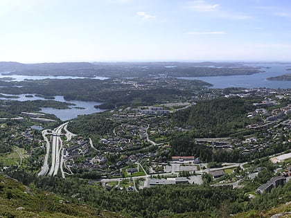
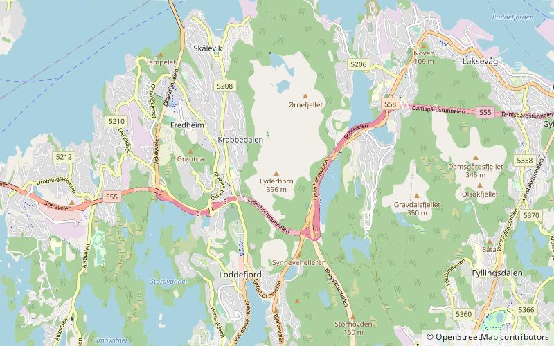
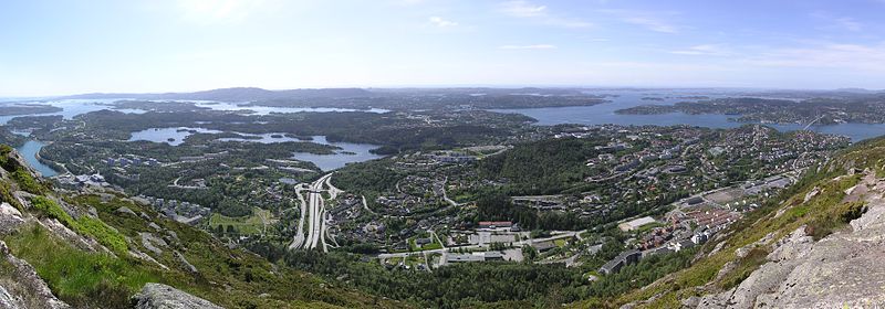
Lyderhorn is a mountain in the city of Bergen in Vestland county, Norway. It is one of "De syv fjell", the seven mountains surrounding the city centre, and the starting location of Bergen Turlag's annual trip of the mountains. It is located by Liavatnet approximately 5 kilometres west of the city center. Due to its prominent visibility from the seas, it has historically been a navigational mark for sailors. The 329-metre tall Ørnafjellet is an adjacent peak, and below Ørnafjellet are the two lakes Skåleviksvatnet and Søre Skåleviksvatnet. North of Ørnafjellet is Kvarven fort, a strategic point during World War II, still featuring several bunkers and cannon positions used in the defense of Bergen. Lyderhorn, Ørnafjellet and Kvarven are popular hiking areas. ()
Lyderhorn – popular in the area (distance from the attraction)
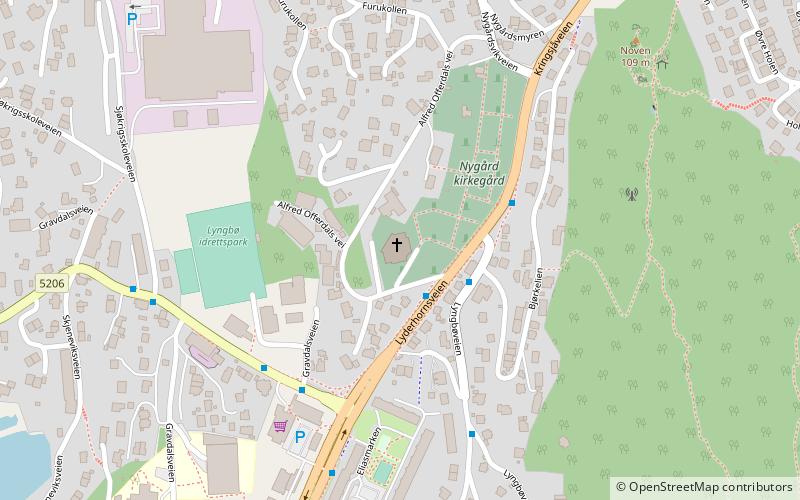
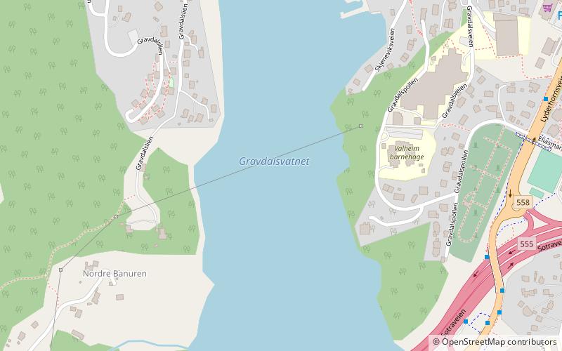
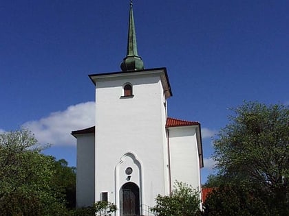
Nearby attractions include: Vannkanten, Nygård Church, Gravdalsvatnet, Loddefjord Church.
Frequently Asked Questions (FAQ)
Which popular attractions are close to Lyderhorn?
How to get to Lyderhorn by public transport?
Bus
- Frieda Fasmer rv. 555 • Lines: 441 Bergen busstasjon - Hjeltery, 441 Hjelteryggen - Bergen bussta, 445 Bergen busstasjon - Anglevik, 450 Bergen Busstasjon - Skogsski, 450 Skogsskiftet - Bergen Bussta, 460 Ågotnes terminal - Bergen bu, 460 Bergen busstasjon - Ågotnes (17 min walk)
- Loddefjord terminal (22 min walk)


