Stormolla
Map

Map

Facts and practical information
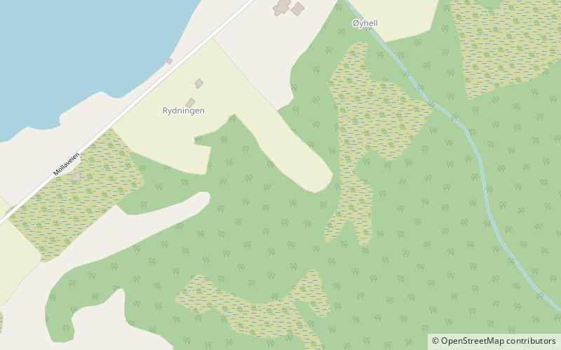
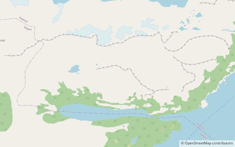
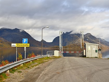
Stormolla is an island in Vågan Municipality in Nordland county, Norway. It is located in the Lofoten islands, south of the large islands of Austvågøya and Hinnøya and northeast of the smaller islands of Litlmolla and Skrova. The highest point on the island is the 751-metre tall mountain Heggedalstinden. ()
Alternative names: Area: 13.28 mi²Maximum elevation: 2464 ftArchipelago: LofotenCoordinates: 68°17'30"N, 14°51'60"E
Location
Nordland
ContactAdd
Social media
Add
Day trips
Stormolla – popular in the area (distance from the attraction)
Nearby attractions include: Sildpollnes Church, Trollfjord, Higravstinden, Litlkorsnestinden.


