Pilestredet, Oslo
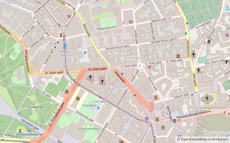
Map
Gallery
Facts and practical information
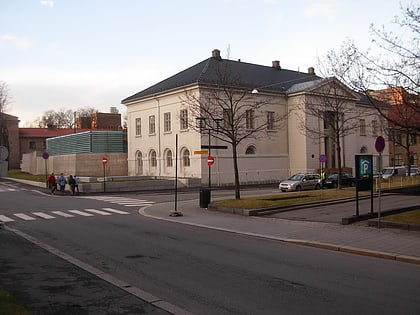
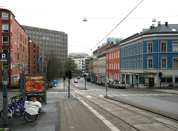
Pilestredet is a street in Oslo, Norway which begins in the city center and runs through the boroughs of St. Hanshaugen and Frogner. ()
Address
St Hanshaugen (Sentrum)Oslo
ContactAdd
Social media
Add
Day trips
Pilestredet – popular in the area (distance from the attraction)
Nearby attractions include: Ibsenmuseet, National Theatre, Museum of Cultural History, Paleet.
Frequently Asked Questions (FAQ)
Which popular attractions are close to Pilestredet?
Nearby attractions include Filadelfia Oslo, Oslo (2 min walk), Edderkoppen Theatre, Oslo (2 min walk), National Gallery, Oslo (3 min walk), Nasjonalmuseet, Oslo (4 min walk).
How to get to Pilestredet by public transport?
The nearest stations to Pilestredet:
Tram
Metro
Train
Ferry
Bus
Tram
- Tullinløkka (2 min walk)
- Holbergs plass (4 min walk)
Metro
- National Theatre (7 min walk)
- Stortinget (9 min walk)
Train
- National Theatre (10 min walk)
- Oslo Central Station (18 min walk)
Ferry
- Rådhusbryggen • Lines: B9 (14 min walk)
- Aker brygge (16 min walk)
Bus
- Oslo Bus Terminal (23 min walk)


