Bojohagur Duanasir
Map

Map

Facts and practical information
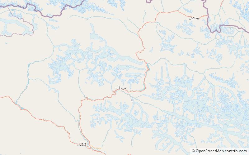
Bojohagur or Bojohaghur Duanasir is a summit in the Batura Muztagh, a subrange of the Karakoram range in Pakistan. It is the west summit of a short ridge whose high point is Ultar Sar, also known as Bojohaghur Duanasir II. It was first climbed in 1984 by E. Kisa, M. Nagoshi, and R. Okamoto, members of a Japanese expedition led by Tsumeo Omae, which ascended from the Hasanabad Glacier via the Southwest Ridge ()
Alternative names: First ascent: 1984Elevation: 24045 ftProminence: 984 ftCoordinates: 36°23'59"N, 74°41'31"E
Location
Northern Areas
ContactAdd
Social media
Add
Day trips
Bojohagur Duanasir – popular in the area (distance from the attraction)
Nearby attractions include: Baltit Fort, Shispare, Ultar, Ladyfinger Peak.


