Shara-e-Faisal, Karachi
Map
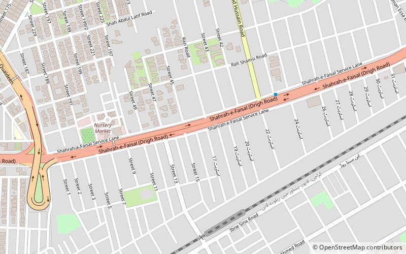
Map

Facts and practical information
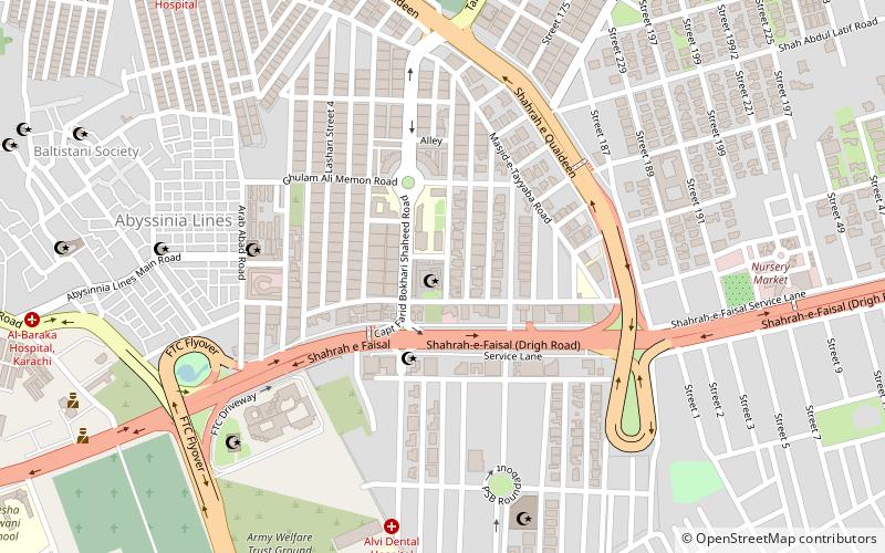
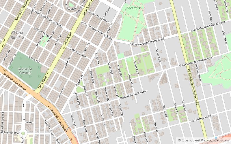
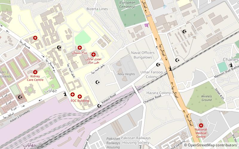
Shahrah-e-Faisal, founded as Drigh Road, is a boulevard in Karachi that runs 18 km, from the Bhutto Underpass near Hotel Metropole in central Karachi, to Star Gate near Jinnah International Airport, where it becomes N-5 National Highway. ()
Length: 11.18 miCoordinates: 24°51'39"N, 67°3'58"E
Address
جمشید ٹاؤن (چانیسار گوٹھ)Karachi
ContactAdd
Social media
Add
Day trips
Shara-e-Faisal – popular in the area (distance from the attraction)
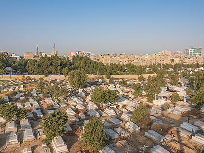
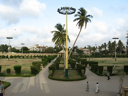
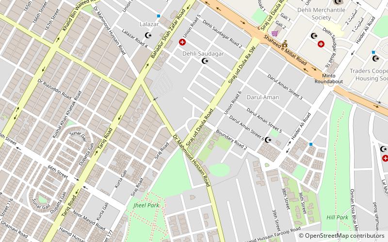
Nearby attractions include: Gora Qabaristan, Jheel Park, Masjid-e-Tooba, Hill Park.
Frequently Asked Questions (FAQ)
Which popular attractions are close to Shara-e-Faisal?
Nearby attractions include P.E.C.H.S Block 2, Karachi (13 min walk), Hill Park, Karachi (17 min walk), Bin Qasim Industrial Zone, Karachi (17 min walk), Jheel Park, Karachi (18 min walk).

