Bin Qasim Industrial Zone, Karachi
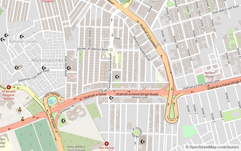
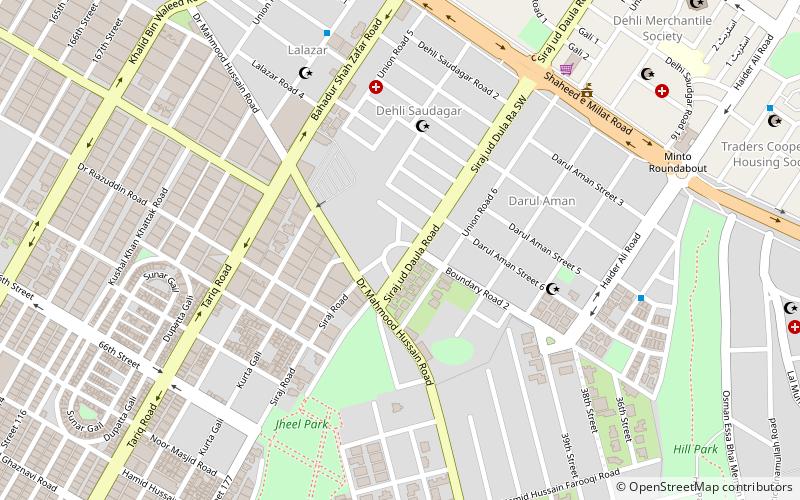
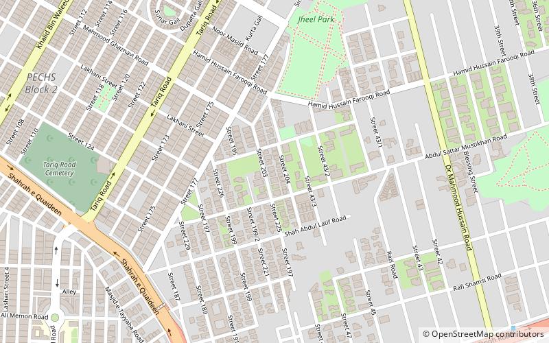
Map
Facts and practical information
The Bin Qasim Industrial Zone is one of the largest industrial areas in Karachi, Sindh, Pakistan. It consists of more than 25,000 acres of land in the Port Qasim town area. Contained within this zone are many industrial units, ranging from medium to large in employment volume. Currently, there are 180 Large and Medium Size units operating in the area. ()
Elevation: 62 ft a.s.l.Coordinates: 24°51'39"N, 67°3'19"E
Address
Captain Fareed Bukhari Shaheed Rdجمشید ٹاؤن (جاٹ لینڈ لائن)Karachi
ContactAdd
Social media
Add
Day trips
Bin Qasim Industrial Zone – popular in the area (distance from the attraction)
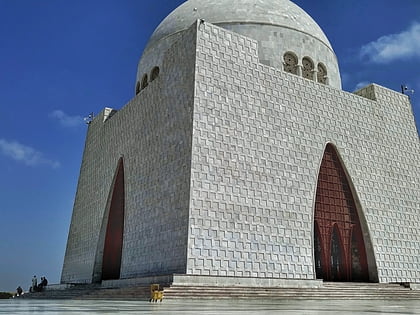
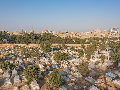
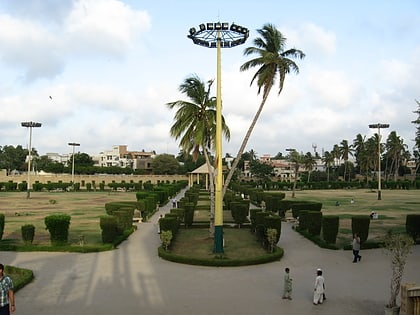
Nearby attractions include: Mazar-e-Quaid, Gora Qabaristan, Jheel Park, Masjid-e-Tooba.
Frequently Asked Questions (FAQ)
Which popular attractions are close to Bin Qasim Industrial Zone?
Nearby attractions include Gora Qabaristan, Karachi (13 min walk), P.E.C.H.S Block 2, Karachi (15 min walk), Shara-e-Faisal, Karachi (17 min walk), Jinnah Hospital, Karachi (21 min walk).
How to get to Bin Qasim Industrial Zone by public transport?
The nearest stations to Bin Qasim Industrial Zone:
Train
Bus
Train
- Karachi Cantonment Station (38 min walk)
Bus
- Manthar Coach Ada (40 min walk)
