Trek Zone

Rawalpindi District, Umerkot

#3 among attractions in Umerkot

Neighbourhood
Rawalpindi District

Facts and practical information
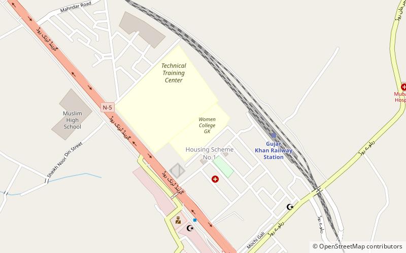
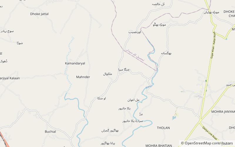
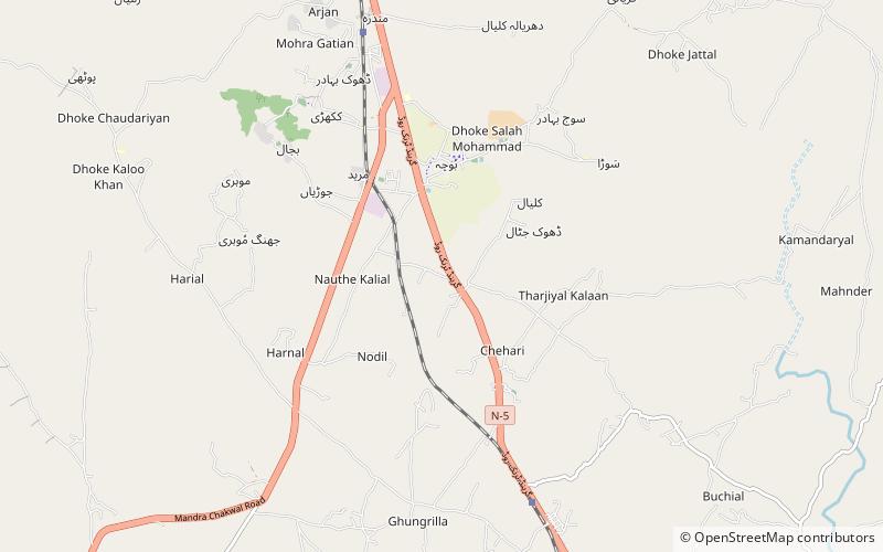
Local name: ضلع راولپنڈی Area: 2040.55 mi²Maximum elevation: 9160 ftMinimal elevation: 1100 ftCoordinates: 33°19'60"N, 73°15'0"E
Address

Umerkot Pakistan

Contact
Social media
Add

Umerkot plan & book

Unleash the traveler in you — discover the cheapest flight deals, find the perfect hotel or hostel nearby, and search for the best car rental prices. Travel at your own pace to discover new places and enjoy your journey.

Day trips

Rawalpindi District – popular in the area (distance from the attraction)

Nearby attractions include: Pharwala, Ayub National Park, Daultala, Choha Khalsa.

  • pharwala5 miNW
  • ayub national park~0 ftN
  • daultala gujar khan location map
    6 miSE
  • choha khalsa location map
    ~0 ftN
  • changa bangial location map
    4.8 miE

Where to next? Visit punjab Punjab region page or discover the top tourist attractions in Pakistan.