Changa Bangial

Map
Facts and practical information
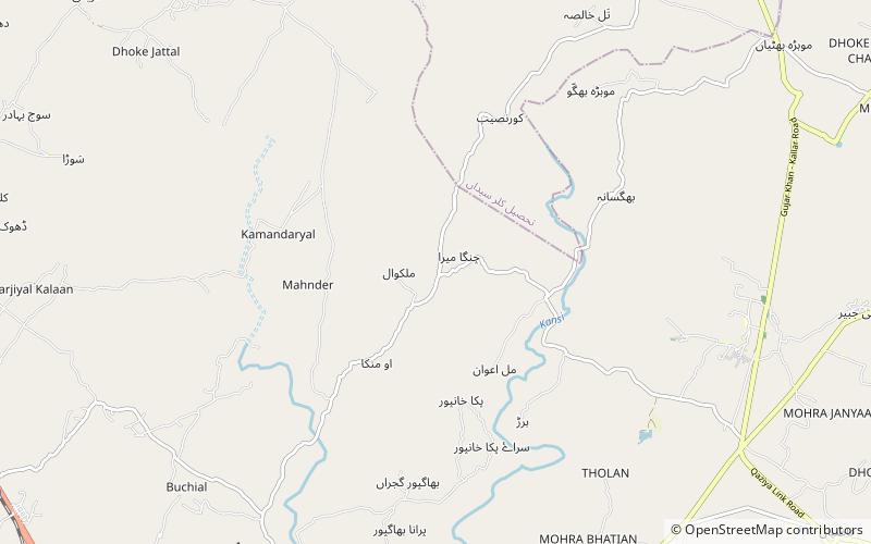
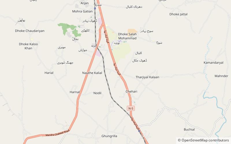
Changa Bangial is a town and Union Council, an administrative subdivision, of Gujar Khan Tehsil in the Punjab Province of Pakistan. ()
Local name: چنگا بنگیالCoordinates: 33°19'59"N, 73°19'59"E
Day trips
Changa Bangial – popular in the area (distance from the attraction)
Nearby attractions include: Ayub National Park, Daultala, Choha Khalsa, Rawalpindi District.


