Bloody Bastion, Multan
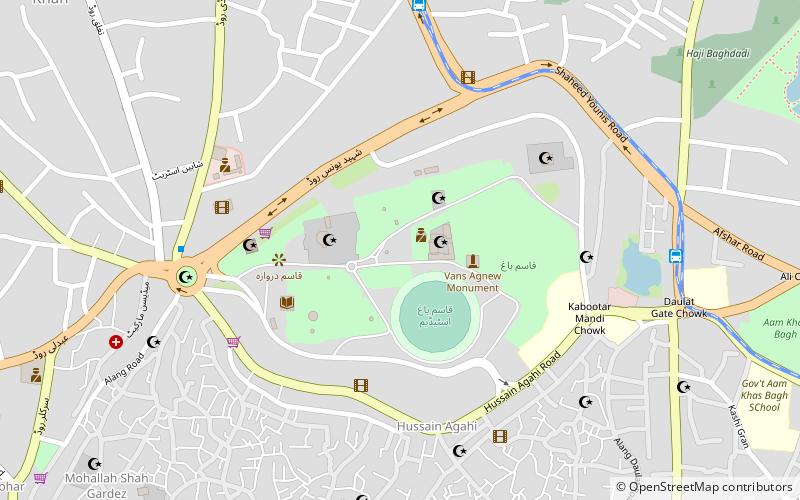
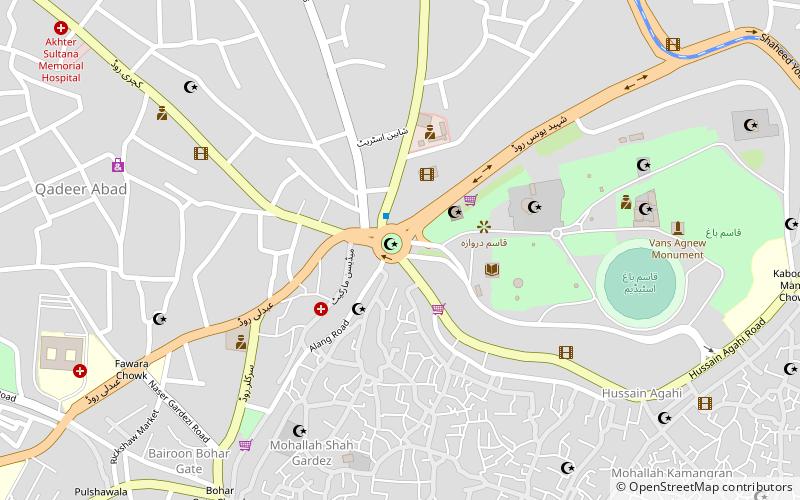
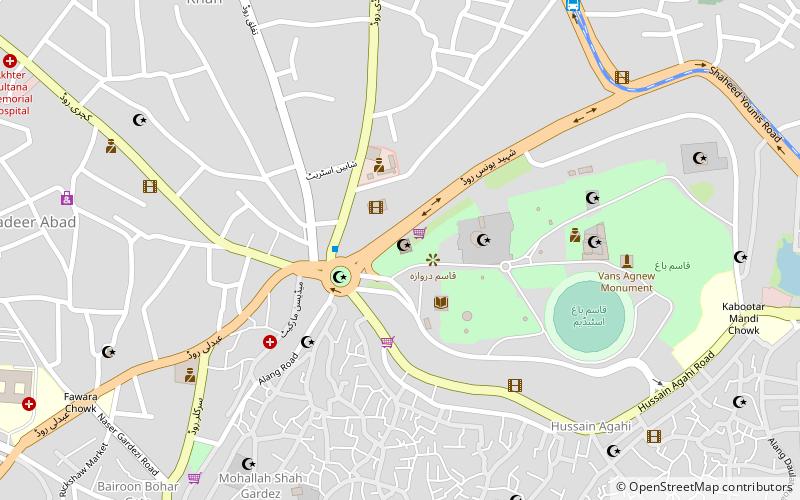
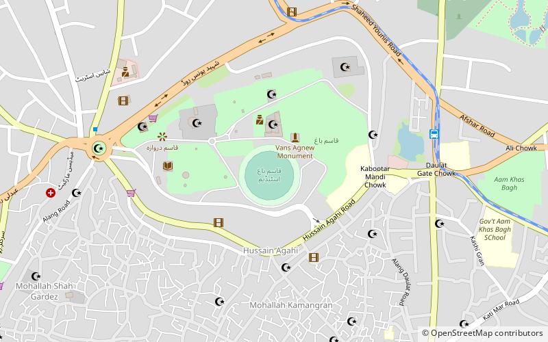
Map
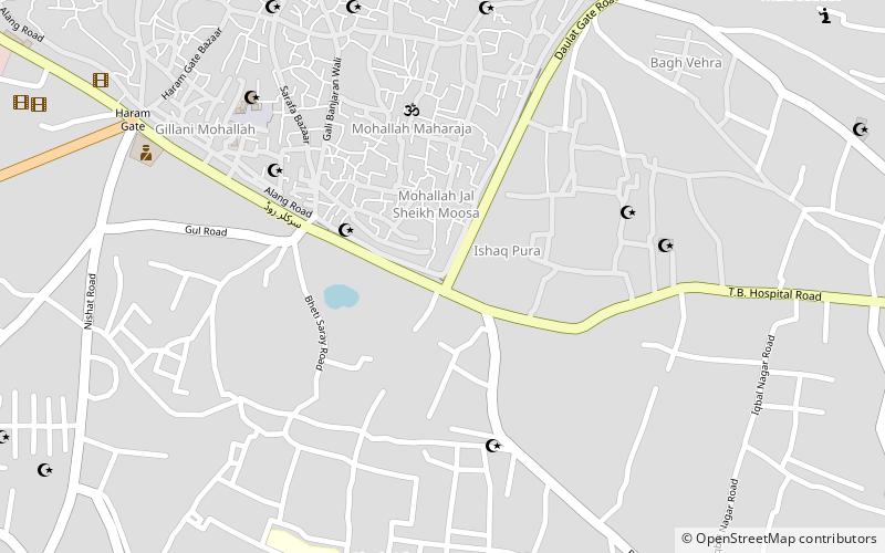
Map

Facts and practical information
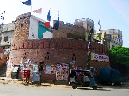
Bloody Bastion, also called Khooni Burj or Bloody Tower, is a bastion in the old City Wall of Multan, between Pak Gate and Delhi Gate on Alang Road in Multan. The tower is a remnant of the city's fortifications that were destroyed by the British in 1849. ()
Coordinates: 30°11'15"N, 71°28'31"E
Address
Multan
ContactAdd
Social media
Add
Day trips
Bloody Bastion – popular in the area (distance from the attraction)
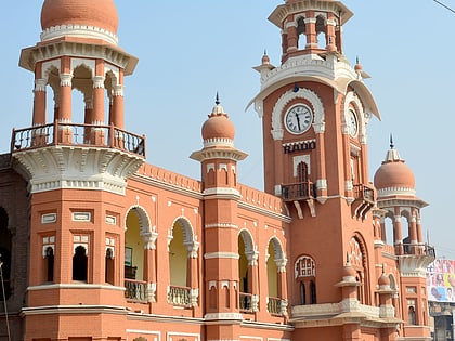
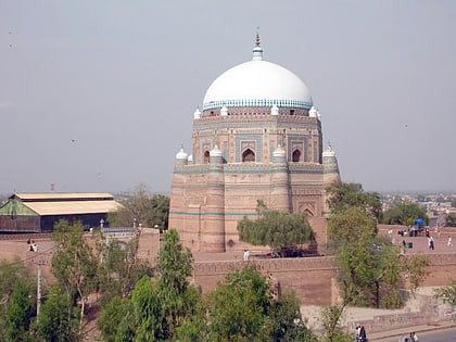
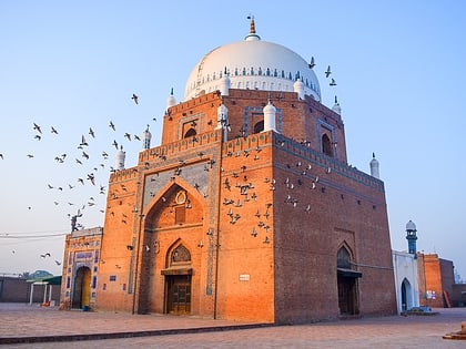
Nearby attractions include: Ghanta Ghar, Tomb of Shah Rukn-e-Alam, Shrine of Bahauddin Zakariya, Multan Fort.
Frequently Asked Questions (FAQ)
Which popular attractions are close to Bloody Bastion?
Nearby attractions include Multan Fort, Multan (21 min walk), Tomb of Shah Rukn-e-Alam, Multan (22 min walk), Ghanta Ghar Chowk, Multan (22 min walk), Al-Muzaffar Mosque, Multan (22 min walk).
How to get to Bloody Bastion by public transport?
The nearest stations to Bloody Bastion:
Train
Bus
Train
- City Railway Station (11 min walk)
Bus
- Manzoorabad Metrobus (19 min walk)
- Shah Jamal Metrobus (19 min walk)
