Multan Fort, Multan
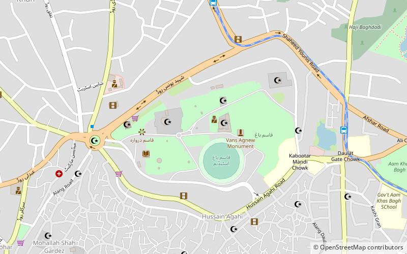
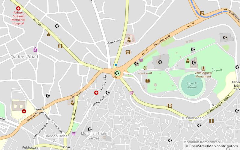
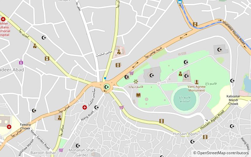
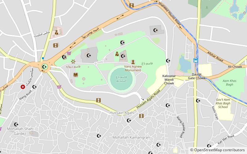
Map
Facts and practical information
The Multan Fort, a military installation, was a landmark of South Asian defence and architecture. According to some estimates the original fort was built by Katoch Dynasty Rajput between 800 and 1000 B.C. However, it was later destroyed. It was rebuilt by Ranghar chiefs near the city of Multan, on a hillock separated from the city by the Ravi River. The fort was destroyed by British forces during British colonial rule. ()
Local name: قلعہ ملتانCoordinates: 30°11'56"N, 71°28'24"E
Getting there by public transportation
Public transportation stops near this location
- Bus
 Bus
Bus
- Calculate routeQasim Bagh Metrobus 9 min walk
- Calculate routeDaulat Gate Metrobus 9 min walk
- Calculate routeChungi No 9 17 min walk
- Calculate routeChungi No. 9 Chowk Metrobus 18 min walk
Day trips


Frequently Asked Questions (FAQ)
Which popular attractions are close to Multan Fort?
Nearby attractions include Tomb of Shah Rukn-e-Alam, Multan (3 min walk), Al-Muzaffar Mosque, Multan (6 min walk), Shrine of Bahauddin Zakariya, Multan (6 min walk), Ghanta Ghar Chowk, Multan (7 min walk).
How to get to Multan Fort by public transport?
The nearest stations to Multan Fort:
Bus
Bus
- Qasim Bagh Metrobus (9 min walk)
- Daulat Gate Metrobus (9 min walk)