Sangemarmar Sar
Map

Map

Facts and practical information
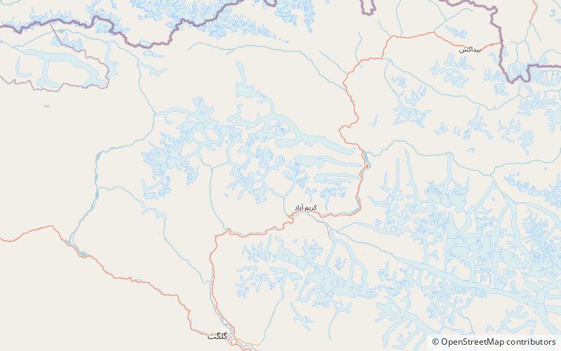
Sangemarmar Sar, or Sangemar Mar and Sang-e-Marmar, is a pyramidal peak in the Batura Muztagh, at the end of a spur ridge running southwest from Pasu Sar in Pakistan. It lies between the Muchuhar Glacier, on the west, and the Shispare Glacier on the east. ()
Local name: سنگ مرمر سر First ascent: 1984Elevation: 22799 ftProminence: 3445 ftCoordinates: 36°25'33"N, 74°33'37"E
Location
Northern Areas
ContactAdd
Social media
Add
Day trips
Sangemarmar Sar – popular in the area (distance from the attraction)
Nearby attractions include: Batura Muztagh, Ladyfinger Peak, Passu Sar, Hunza Peak.


