Passu Sar

Gallery (1)
Map
Map
Facts and practical information
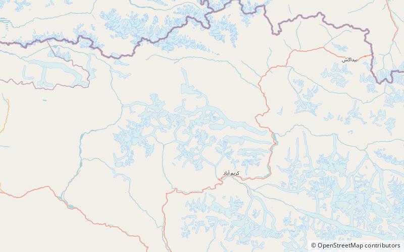
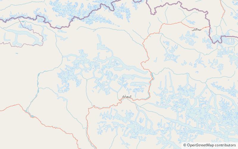
Passu Sar is a mountain peak in the Batura Muztagh, a sub-range of the Karakoram mountain range, in the Hunza District of Gilgit-Baltistan, Pakistan. It is the high point of the Passu massif, which also includes Passu Diar. The peak lies on the main ridge of the Batura Muztagh, about 7 km east of Batura Sar. ()
Alternative names: First ascent: 1994Elevation: 24534 ftProminence: 2123 ftCoordinates: 36°29'16"N, 74°35'16"E
Location
Northern Areas
ContactAdd
Social media
Add
Day trips