Zharba Lake

Gallery (1)
Map
Map
Facts and practical information
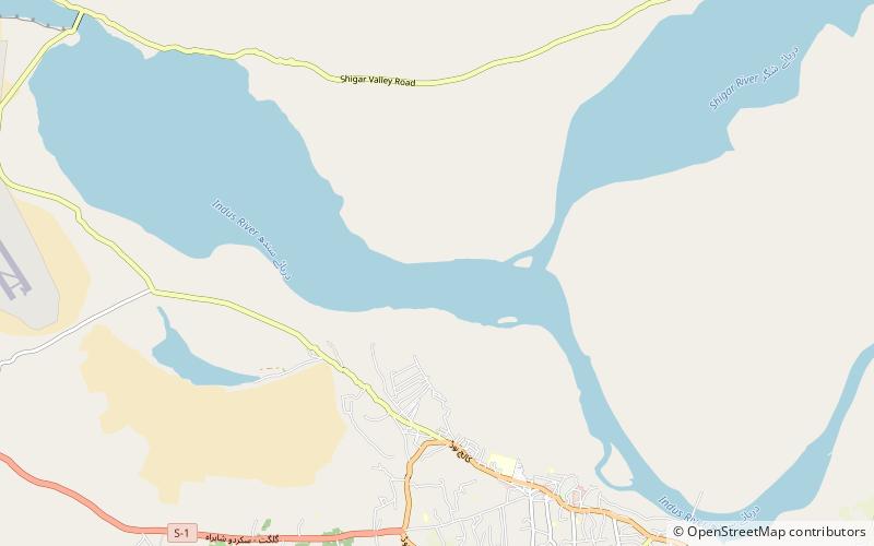
Zharba Tso or Blind lake is a Panoramic Lake near Shigar Valley, Shigar, Gilgit-Baltistan region in Pakistan. Zharba Lake uses as a water reservoir for the residents of Shigar Valley. It is fed by the Indus River. ()
Length: 4593 ftWidth: 853 ftElevation: 7224 ft a.s.l.Coordinates: 35°21'44"N, 75°41'54"E
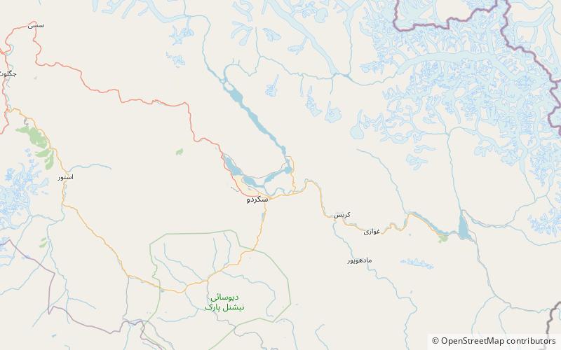
Location
Northern Areas
ContactAdd
Social media
Add
Day trips