Dharamsar

Map
Facts and practical information
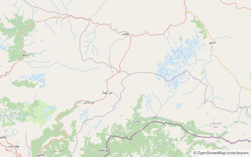
Dharamsar is an alpine lake in the Kaghan Valley in the Khyber-Pakhtunkhwa province of Pakistan. It is located approximately 4,100 meters above sea level to the left of Babusar Top going eastwards from Chilas on the Karakoram Highway, next to the larger Sambaksar and Ganai Gali. Dharamsar lake is located close to the border of Khyber Pakhtunkhwa and Azad Jammu and Kashmir just south of the meeting point of all three of Khyber Pakhtunkhwa, Azad Kashmir and Gilgit-Baltistan. ()
Elevation: 13478 ft a.s.l.Coordinates: 35°5'53"N, 74°5'50"E
Location
Azad Kashmir
ContactAdd
Social media
Add
Day trips
Dharamsar – popular in the area (distance from the attraction)
Nearby attractions include: Dudipatsar, Babusar Pass.

