Quaid e Azam International Cycling Velodrome, Lahore
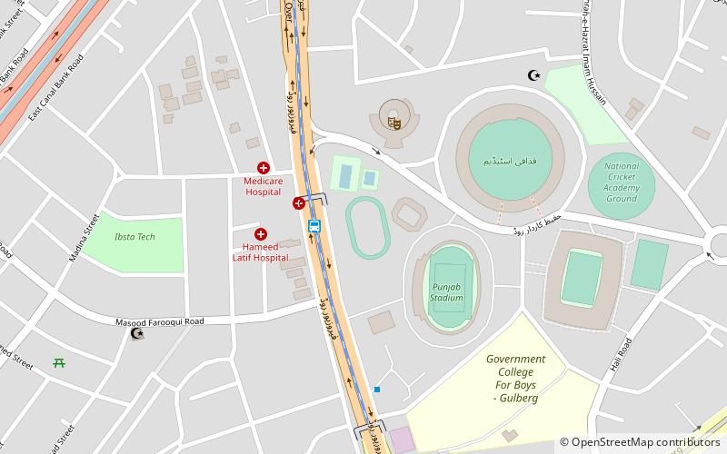
Map
Facts and practical information
The Quaid e Azam International Cycling Velodrome is a velodrome in Lahore, Pakistan; it is the only velodrome in Pakistan and was constructed in 1954, though plans exist to build a velodrome in Peshawar. However, its condition had deteriorated to the point that by 2011, Pakistan's Senate Standing Committee on Sports had become concerned about its continuing suitability. ()
Coordinates: 31°30'43"N, 74°19'48"E
Address
Lahore
ContactAdd
Social media
Add
Getting there by public transportation
Public transportation stops near this location
- Bus
 Bus
Bus
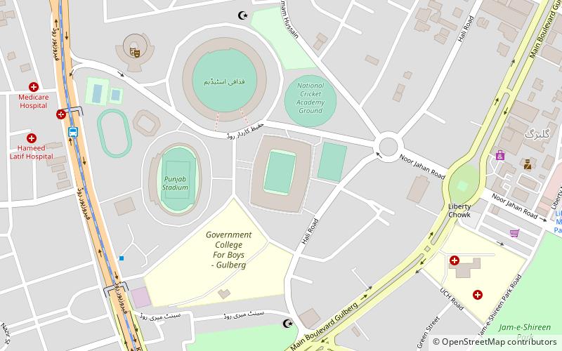
- Calculate routeQadafi Stadium Metrobus 2 min walk
- Calculate routeDaewoo Bus Terminal 11 min walk
- Calculate routeCanal Metrobus 15 min walk
- Calculate routeKalmah Chowk Metrobus 16 min walk
Day trips


Frequently Asked Questions (FAQ)
Which popular attractions are close to Quaid e Azam International Cycling Velodrome?
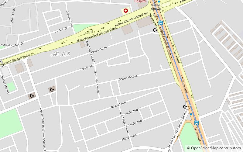
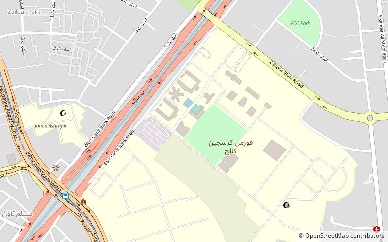
Nearby attractions include Kalma Underpass, Lahore (14 min walk), Forman Christian College, Lahore (19 min walk), Shakir Ali, Lahore (21 min walk).
How to get to Quaid e Azam International Cycling Velodrome by public transport?
The nearest stations to Quaid e Azam International Cycling Velodrome:
Bus
Bus
- Qadafi Stadium Metrobus (2 min walk)
- Daewoo Bus Terminal (11 min walk)