National Hockey Stadium, Lahore
Map
Facts and practical information
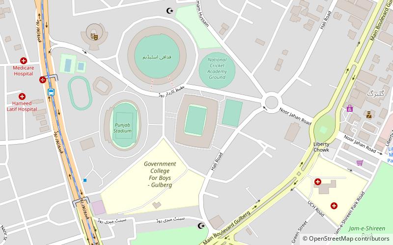
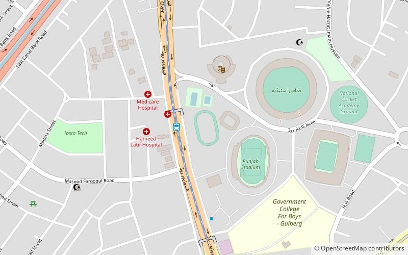
National Hockey Stadium is a purpose-built field hockey stadium in Lahore, Pakistan. It is the biggest field hockey stadium in the world. The stadium has a capacity of 45,000 spectators. It hosted the 1990 Hockey World Cup Final, where the hosts were defeated 3–1 by the Netherlands. later in 2004 it hosted Champions trophy then in Jan 2018 World XI and Hall of Fame, also hosted Haier Hockey Series Open in Dec 2018. ()
Address
Lahore
ContactAdd
Social media
Add
Getting there by public transportation
Public transportation stops near this location
- Bus
 Bus
Bus
- Calculate routeQadafi Stadium Metrobus 10 min walk
- Calculate routeDaewoo Bus Terminal 11 min walk
- Calculate routeKalmah Chowk Metrobus 14 min walk
- Calculate routeCanal Metrobus 20 min walk
Day trips


Frequently Asked Questions (FAQ)
Which popular attractions are close to National Hockey Stadium?
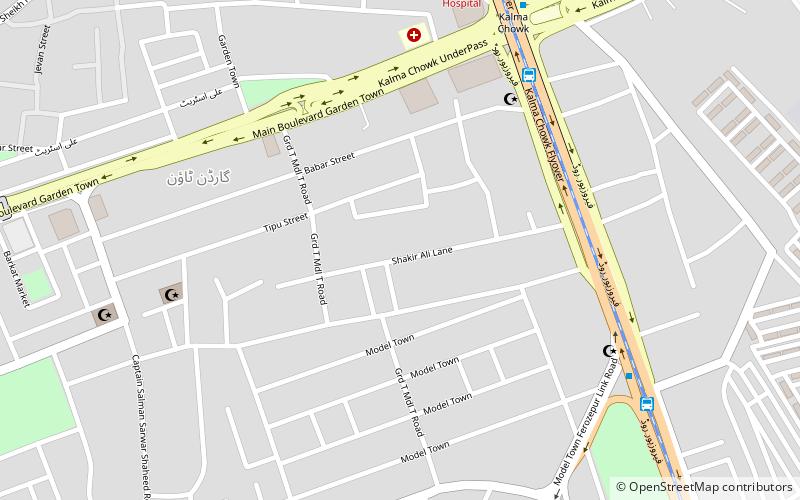
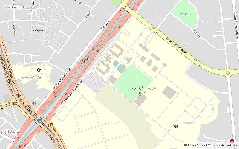
Nearby attractions include Kalma Underpass, Lahore (13 min walk), Forman Christian College, Lahore (21 min walk), Shakir Ali, Lahore (21 min walk).
How to get to National Hockey Stadium by public transport?
The nearest stations to National Hockey Stadium:
Bus
Bus
- Qadafi Stadium Metrobus (10 min walk)
- Daewoo Bus Terminal (11 min walk)