Uet era Ngermeuangel
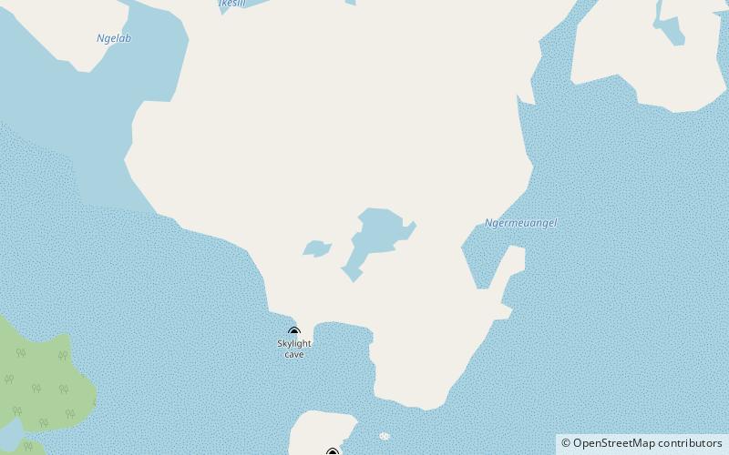
Map
Facts and practical information
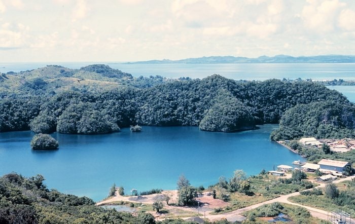
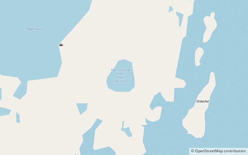
Uet era Ngermeuangel is a marine lake located on Koror island in Palau. There are about 70 other marine lakes located throughout the Rock Islands and Koror. Uet era Ngermeuangel is notable for endemic subspecies of golden jellyfish and is one of five marine lakes in Palau used for several scientific researches in evolutionary biology the other lakes being Jellyfish Lake, Clear Lake, Goby Lake, Uet era Ongael. ()
Alternative names: Area: 10.63 acres (0.0166 mi²)Length: 951 ftMaximum depth: 131 ftElevation: 151 ft a.s.l.Coordinates: 7°19'25"N, 134°30'32"E
Location
Koror
ContactAdd
Social media
Add
Day trips