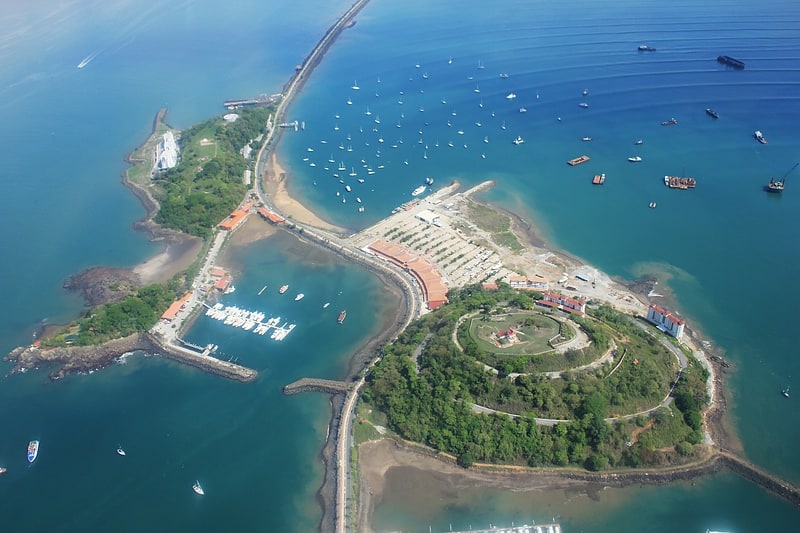
Amador Causeway, Panama City
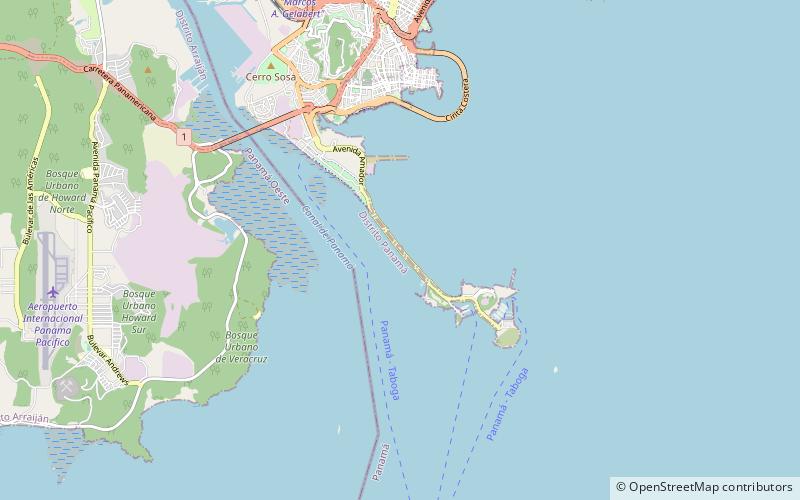
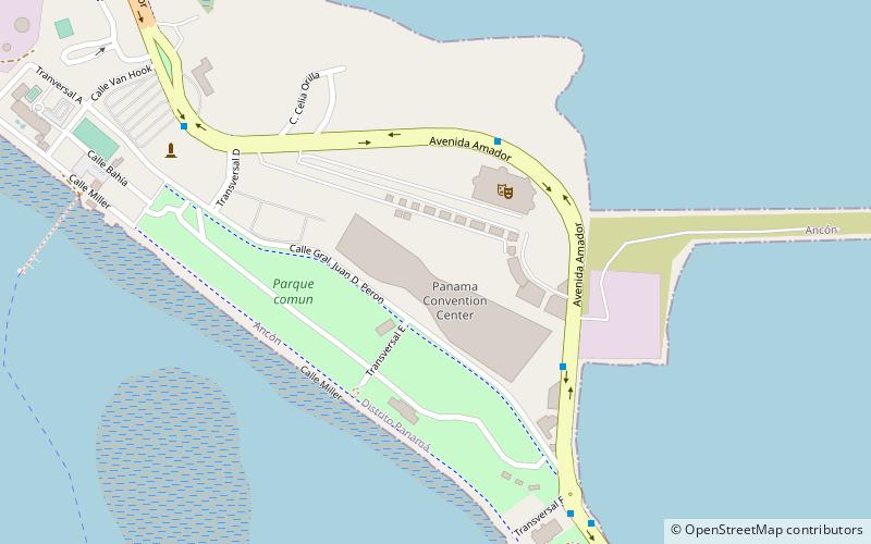
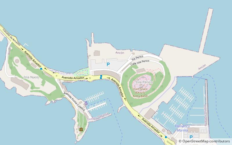
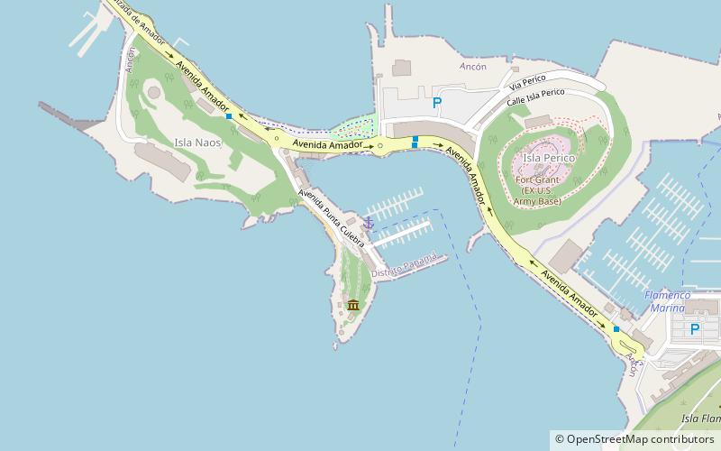
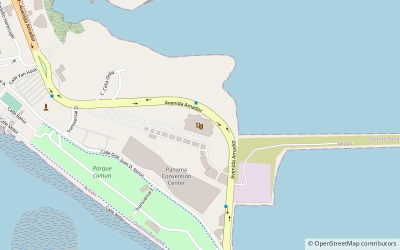
Map
Facts and practical information
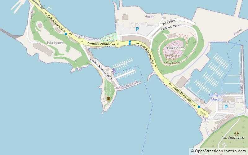
Amador Causeway (address: Av Amador) is a place located in Panama City (Panamá province) and belongs to the category of bridge.
It is situated at an altitude of 0 feet, and its geographical coordinates are 8°55'24"N latitude and 79°32'20"W longitude.
Planning a visit to this place, one can easily and conveniently get there by public transportation. Amador Causeway is a short distance from the following public transport stations: Smithsonian (bus, 19 min walk).
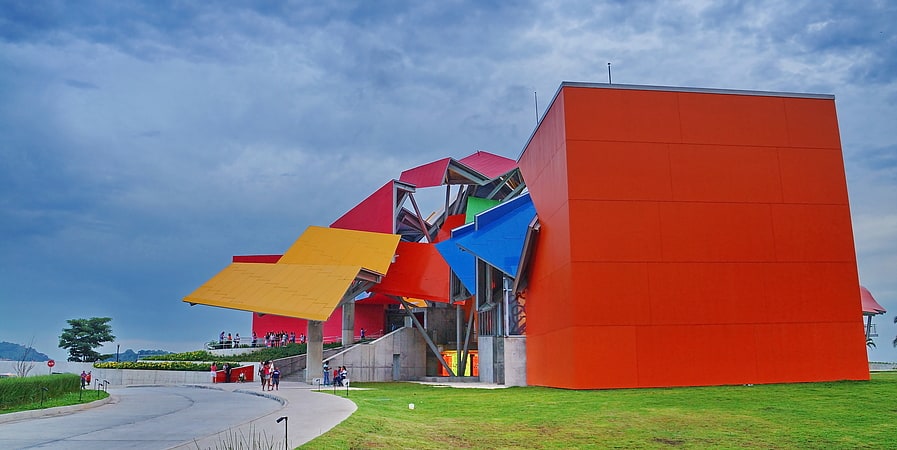
Among other places and attractions worth visiting in the area are: Biomuseo (museum, 19 min walk), Canal and Bay Tours Panamá (canal, 26 min walk), Amador Bike Park (park, 27 min walk).
Coordinates: 8°55'24"N, 79°32'20"W
Address
Av AmadorPanama City
ContactAdd
Social media
Add
Getting there by public transportation
Public transportation stops near this location
- Bus
 Bus
Bus
- Calculate routeSmithsonian 19 min walk
- Calculate routeBiomuseo 21 min walk
- Calculate routeIsla Flamenco 37 min walk
Day trips
Frequently Asked Questions (FAQ)
How to get to Amador Causeway by public transport?
The nearest stations to Amador Causeway:
Bus
Bus
- Smithsonian • Lines: C850 (19 min walk)
- Biomuseo • Lines: C850 (21 min walk)