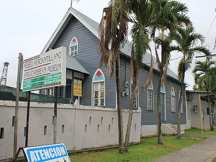
Balboa Heights, Panama City
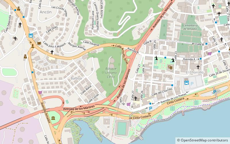
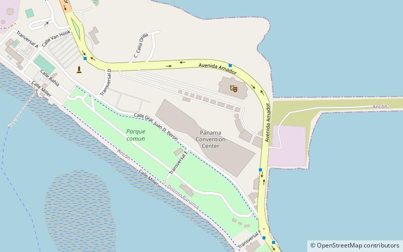
Map
Facts and practical information
Balboa Heights was more or less part of the Panama Canal township of Balboa, existing on the edge of it towards Ancón, with some of it on the lower slopes of Ancon Hill. It wasn't really a proper township in terms of having anything other than residential neighborhoods, but it got its own map page in the Canal Zone telephone book. ()
Coordinates: 8°57'0"N, 79°33'0"W
Address
BalboaPanama City
ContactAdd
Social media
Add
Day trips
Balboa Heights – popular in the area (distance from the attraction)
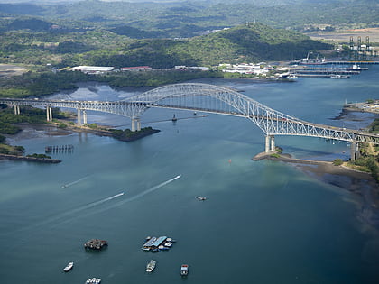
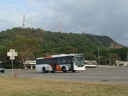
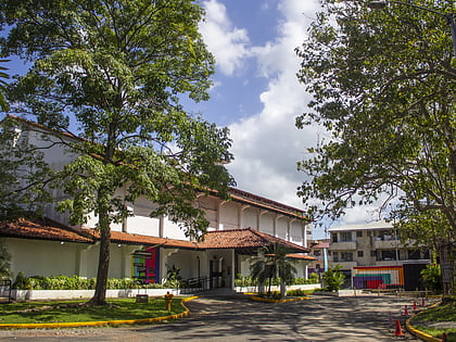
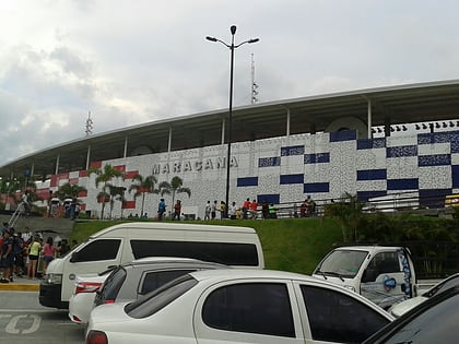
Nearby attractions include: Bridge of the Americas, Ancon Hill, MAC Panamá, Estadio Maracaná.
Frequently Asked Questions (FAQ)
Which popular attractions are close to Balboa Heights?
Nearby attractions include Mi Pueblito, Panama City (7 min walk), Way On Cemetery, Panama City (9 min walk), Ancon Hill, Panama City (14 min walk), Goethals Monument, Panama City (18 min walk).
How to get to Balboa Heights by public transport?
The nearest stations to Balboa Heights:
Bus
Metro
Bus
- MetroBus (10 min walk)
- Patio de Metro Bus (11 min walk)
Metro
- Cinco de Mayo • Lines: Línea 1 (29 min walk)
