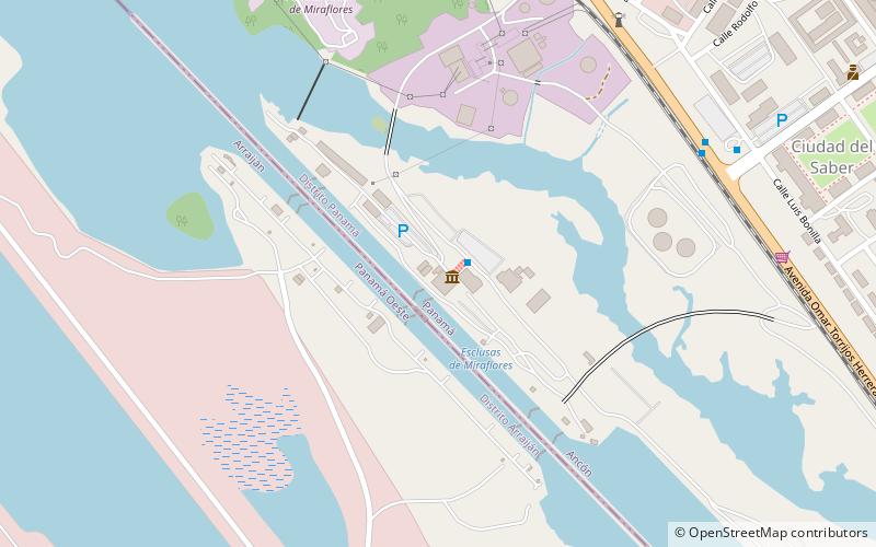
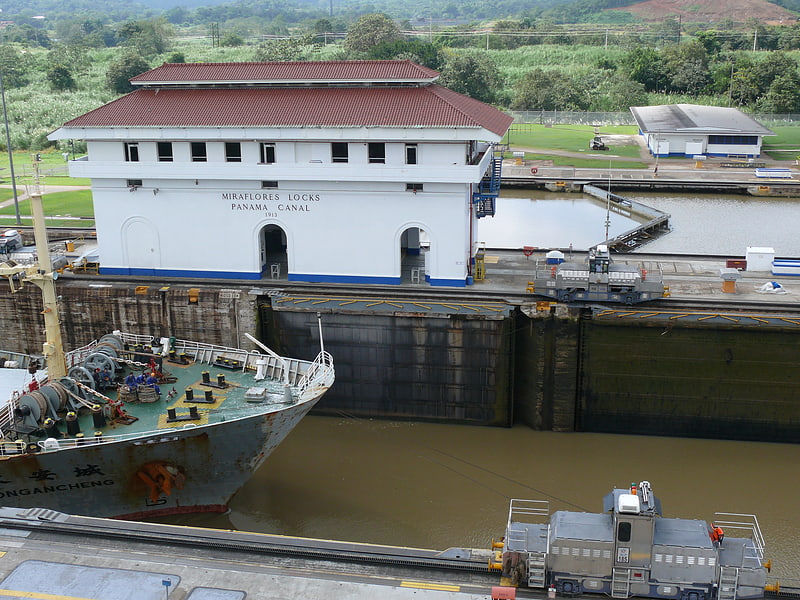
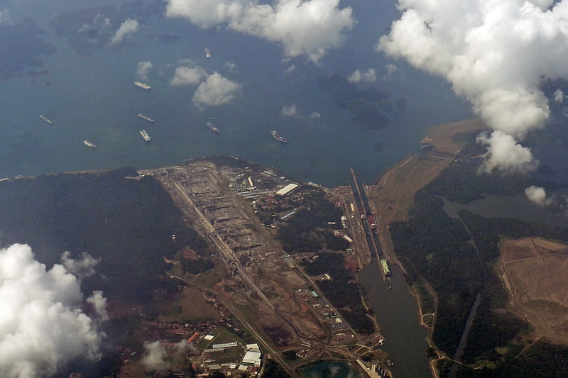
Miraflores Locks, Panama City
Map
Facts and practical information
Miraflores Locks is a place located in Panama City (Panamá Oeste province) and belongs to the category of sightseeing.
It is situated at an altitude of 33 feet, and its geographical coordinates are 8°59'50"N latitude and 79°35'28"W longitude.
Planning a visit to this place, one can easily and conveniently get there by public transportation. Miraflores Locks is a short distance from the following public transport stations: Esclusas de Miraflores (bus, 2 min walk).
Among other places and attractions worth visiting in the area are: The Panama Canal (canal, 1 min walk), Miraflores (canal, 1 min walk), Florida State University-Panama (universities and schools, 15 min walk).
Coordinates: 8°59'50"N, 79°35'28"W
Address
Panama City
ContactAdd
Social media
Add
Getting there by public transportation
Public transportation stops near this location
- Bus
 Bus
Bus
- Calculate routeEsclusas de Miraflores 2 min walk
- Calculate routeEntrada Ciudad del Saber-R 11 min walk
- Calculate routeMiraflores-I 12 min walk
Day trips


Frequently Asked Questions (FAQ)
Which popular attractions are close to Miraflores Locks?
Nearby attractions include The Panama Canal, Panama City (1 min walk), Miraflores, Panama City (1 min walk), Florida State University-Panama, Panama City (15 min walk), Ciudad del Saber, Panama City (15 min walk).
How to get to Miraflores Locks by public transport?
The nearest stations to Miraflores Locks:
Bus
Bus
- Esclusas de Miraflores • Lines: None (2 min walk)
- Entrada Ciudad del Saber-R • Lines: None (11 min walk)