Namatanai District, New Ireland Island

Map
Facts and practical information
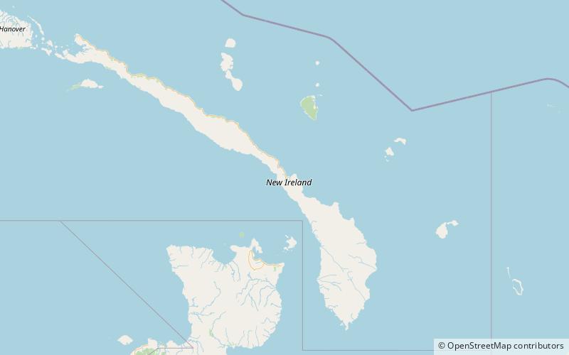
Namatanai District is the southernmost and larger of the two districts of New Ireland Province in Papua New Guinea. The district covers the southern part of the island of New Ireland, as well as the Tabar Group, the Lihir Group, the Tanga Islands and the Feni Islands. ()
Address
New Ireland Island
ContactAdd
Social media
Add
Day trips
Namatanai District – popular in the area (distance from the attraction)
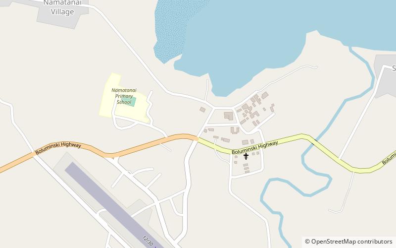
Nearby attractions include: Namatanai.
