Pumahuanca

Gallery (1)
Map
Map
Facts and practical information
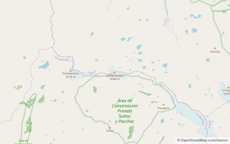
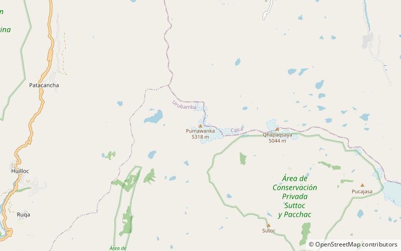
Pumahuanca, Pumahuanja or Yucay is a 5,318-metre-high mountain in the Urubamba mountain range in the Andes of Peru. It is located in the Cusco Region, on the boundary between Calca and Urubamba provinces, northwest of Urubamba. It lies northwest of Chicón and west of Capacsaya. ()
Location
Cusco
ContactAdd
Social media
Add
Day trips