Quellacocha
#420 among destinations in Peru

Facts and practical information
CuscoPeru
Quellacocha – popular in the area (distance from the attraction)
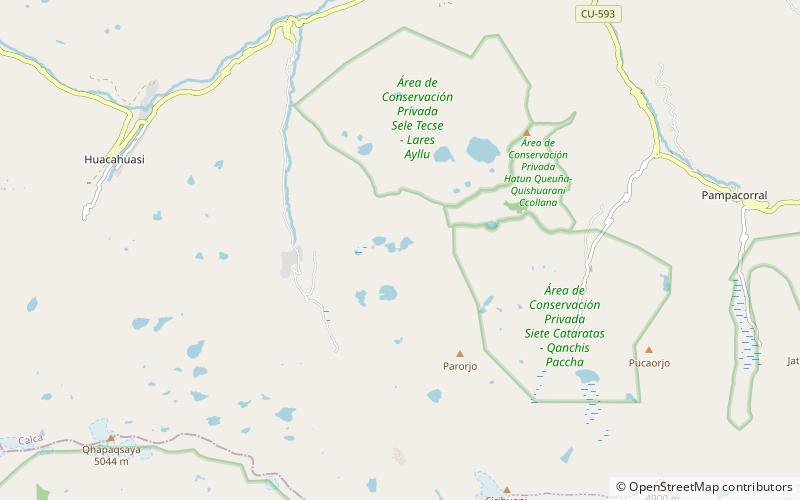
Nearby attractions include: Queuñacocha, Sahuasiray, Pumahuanca, Sirihuani.
 Nature, Natural attraction, Lake
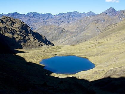
Queuñacocha
29 min walk • Queuñacocha or Hatun Queuñacocha is a small lake in the Urubamba mountain range of the Cusco Region, Lares District, Calca Province, Peru. The lake lies north of Chicón, Sirihuani and Parorjo and southwest of Quisuarani, at an altitude of about 4,170 m. It is 200 metres long, and 140 metres wide at its widest point.
 Nature, Natural attraction, Mountain
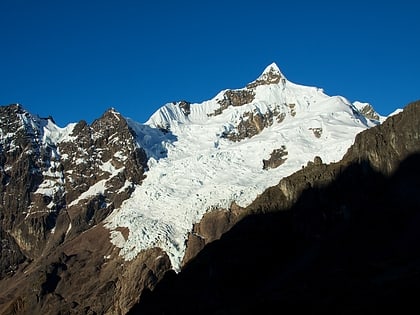
Sahuasiray
162 min walk • Sahuasiray, Sawasiray, Colque Cruz or Ccolque Cruz, is one of the highest mountains in the Urubamba mountain range in the Andes of Peru, about 5,818 metres high. It lies in the Cusco Region, Calca Province, northwest of Calca.
 Nature, Natural attraction, Mountain
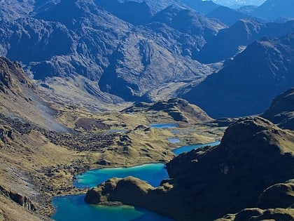
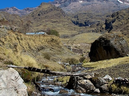
Pumahuanca
141 min walk • Pumahuanca, Pumahuanja or Yucay is a 5,318-metre-high mountain in the Urubamba mountain range in the Andes of Peru. It is located in the Cusco Region, on the boundary between Calca and Urubamba provinces, northwest of Urubamba.
 Nature, Natural attraction, Mountain
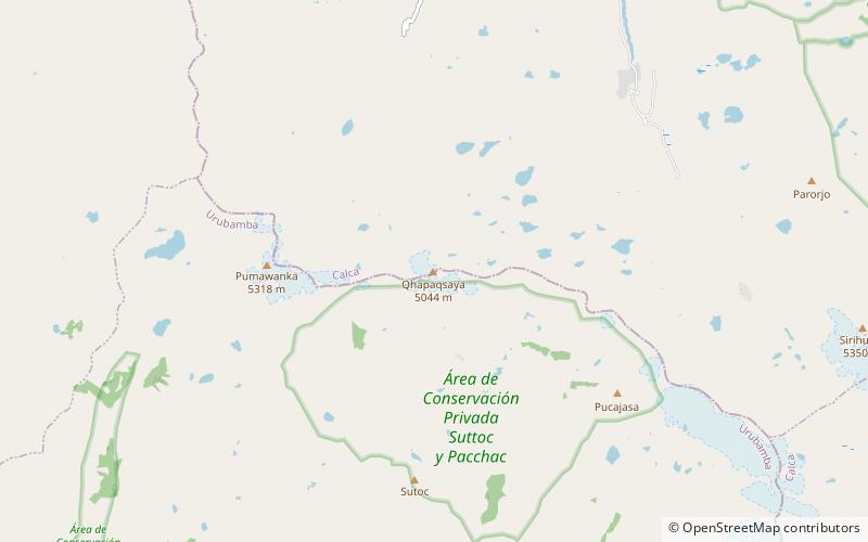
Sirihuani
78 min walk • Sirihuani or Sirijuani is a 5,359-metre-high mountain in the Urubamba mountain range in the Andes of Peru. It is located in the Cusco Region, Calca Province, in the districts of Calca and Lares.
 Nature, Natural attraction, Mountain
Capacsaya
102 min walk • Capacsaya, Ccapacsaya, Media Luna or Huayurioc is a mountain in the Urubamba mountain range in the Andes of Peru, about 5,044 metres high. It is located in the Cusco Region, Calca Province, Lares District, and in the Urubamba Province, Urubamba District. Capacsaya lies northwest of Chicón and east of Pumahuanca, near Pumahuancajasa pass.
 Nature, Natural attraction, Mountain
Chicón
139 min walk • Chicón or Chicon is a mountain in the Urubamba mountain range in the Andes of Peru, about 5,530 m high. It is located in the Cusco Region, Calca Province, Calca District and in the Urubamba Province, Urubamba District. It is situated northeast of the town of Yucay, southeast of Pumahuanca and southwest of the Sirihuani.
 Archaeological site
Quispiguanca
40 min walk • Quispiguanca, also Q'espihuanca and Q'espiwanka, was a royal estate of the Inca emperor Huayna Capac. The ruins of the estate are located in the northern part of the present-day town of Urubamba, Peru at an elevation of 2,910 metres.
 Nature, Natural attraction, Mountain
Canchacanchajasa
144 min walk • Canchacanchajasa is a 4,987-metre-high mountain in the Urubamba mountain range in the Andes of Peru. It is located in the Cusco Region, Calca Province, Calca District, north of the Urubamba River.
 Nature, Natural attraction, Mountain
Sutoc
144 min walk • Sutoc is a 4,735-metre-high mountain in the Urubamba mountain range in the Andes of Peru. It is located in the Cusco Region, Urubamba Province, Urubamba District. It lies southwest of Pucajasa and the pass named Pumahuancajasa and southeast of Pumahuanca.
 Nature, Natural attraction, Mountain
Pucaorjo
79 min walk • Pucaorjo is a 4,776-metre-high mountain in the Urubamba mountain range in the Andes of Peru. It is situated in the Cusco Region, Calca Province, Lares District.
 Nature, Natural attraction, Mountain
Pucajasa
95 min walk • Pucajasa is a mountain in the Urubamba mountain range in the Andes of Peru, about 4,800 m high. It is located in the Cusco Region, Urubamba Province, Urubamba District. It lies at the pass named Pumahuancajasa.
