Caullaraju, Huascarán National Park
#40 among attractions in Huascarán National Park
![Caullaraju location map](https://tzmedia.b-cdn.net/media/images/static-maps/pe/-9_9625_-77_26.jpg)
Facts and practical information
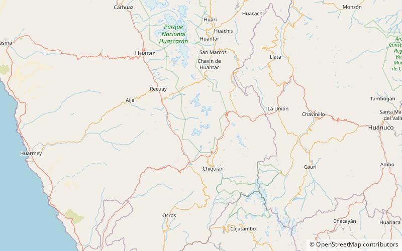
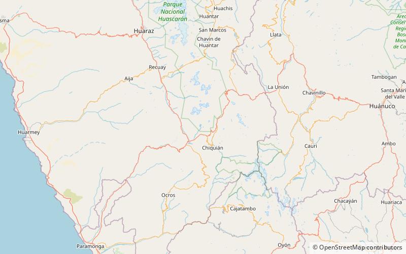
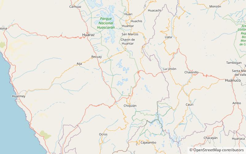
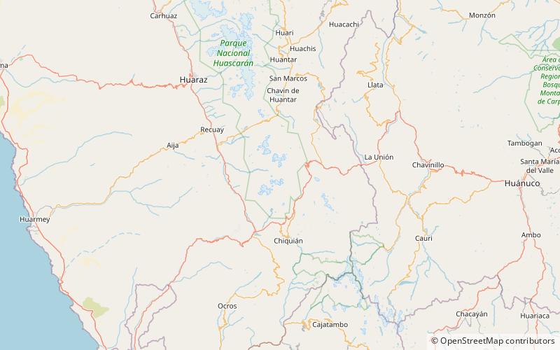
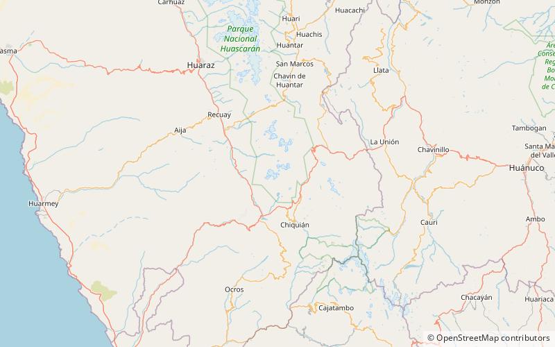
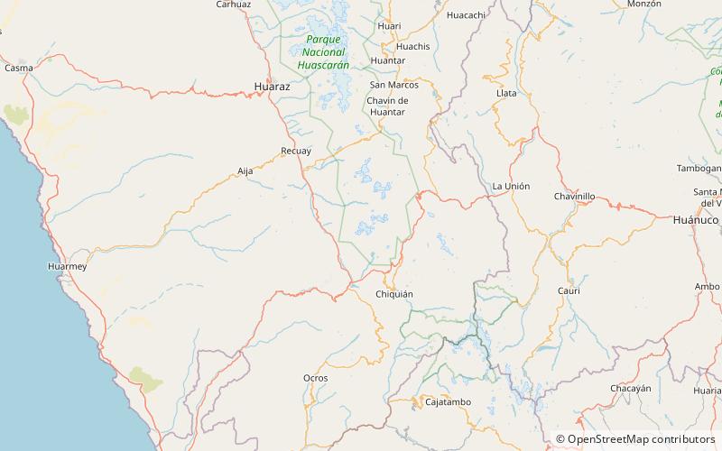
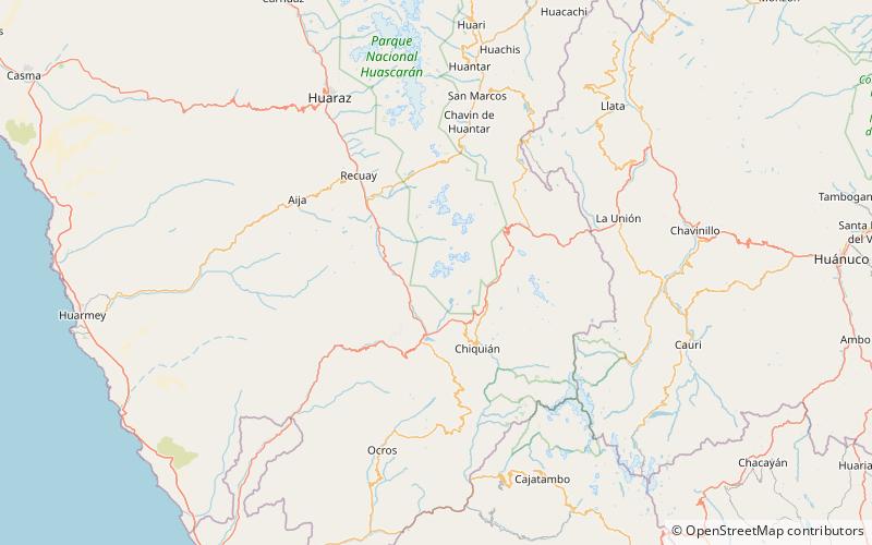
Caullaraju or Jeulla Rajo is a mountain in the Cordillera Blanca in the Andes of Peru, about 5,682 m high. It is located in the Ancash Region, Recuay Province. In the IGN-Peru map, the highest peak is reported to be named Jenhuaracra. ()
Huascarán National Park plan & book
Unleash the traveler in you — discover the cheapest flight deals, find the perfect hotel or hostel nearby, and search for the best car rental prices. Travel at your own pace to discover new places and enjoy your journey.
Caullaraju – popular in the area (distance from the attraction)
Nearby attractions include: Nevado Pastoruri, Tuco Mountain, Pastoruri Glacier, Challhua.
5.3 miNENature, Natural attraction, MountainNevado Pastoruri, Huascarán National Park
136 min walk • Nevado Pastoruri is a mountain in central Peru located in the center of Pachapaqui, in the Aquia District, in the Bolognesi Province in the Ancash Region.
4.9 miNENature, Natural attraction, MountainTuco Mountain, Huascarán National Park
126 min walk • Tuco, Tuku, Tucu or Huanaco Punta is a mountain in the Andes in South America. Its summit is 5,479 m high and it is one of the southernmost peaks in the snow-capped Cordillera Blanca in northwestern central Peru.
6.1 miNENature, Natural attraction, MountainPastoruri Glacier, Huascarán National Park
155 min walk • The Pastoruri glacier is a cirque glacier, located in the southern part of the Cordillera Blanca, part of the Andes mountain range, in Northern Peru in the Ancash region. It is one of the few glaciers left in the tropical areas of South America.
3.8 miNENature, Natural attraction, MountainChallhua, Huascarán National Park
98 min walk • Challhua, Wiksu or Huicsu is a mountain in the southern Cordillera Blanca in the Andes of Peru, about 5,487 m high. Challhua is located in the Ancash Region, Bolognesi Province, Aquia District and in the Recuay Province, Catac District. It is situated northeast of Caullaraju, west of Pastu Ruri and Tuco and south of Santun.
1.8 miSENature, Natural attraction, MountainIchic Jeulla, Huascarán National Park
45 min walk • Ichic Jeulla is a 5,091-metre-high mountain in the southern part of the Cordillera Blanca in the Andes of Peru. It is located in the Ancash Region, Recuay Province, Catac District. Ichic Jeulla lies southeast of Caullaraju.
1.4 miWNature, Natural attraction, MountainWishka Hirka, Huascarán National Park
36 min walk • Wishka Hirka or Wishpa Hirka is a 4,934-metre-high mountain in the southern part of the Cordillera Blanca in the Andes of Peru. It is located in the Ancash Region, Recuay Province, Catac District. Wishka Hirka lies southwest of Qiwllarahu.
6.5 miSENature, Natural attraction, LakeYanaqucha, Huascarán National Park
167 min walk • Yanaqucha is a lake in the Andes of Peru. It is situated at a height of 4,373 m comprising an area of 0.186192 km². Yanaqucha is located in the Ancash Region, Bolognesi Province, Aquia District.
5 miNENature, Natural attraction, MountainSantón, Huascarán National Park
128 min walk • Santón is a 5,238-metre-high mountain in the southern Cordillera Blanca in the Andes of Peru. It is located in the Ancash Region, Recuay Province, Catac District. It is situated northeast of Caullaraju and north of Challhua. Santón lies south of Pumapampa River, a right tributary of the Santa River.
6.4 miNENature, Natural attraction, MountainQiwlla Hirka, Huascarán National Park
164 min walk • Qiwlla Hirka is a mountain in the southern part of the Cordillera Blanca in the Andes of Peru, about 5,000 m high. It is located in the Ancash Region, Recuay Province, Catac District. Qiwlla Hirka lies northeast of Qiwllarahu and Challwa, near Pastu Ruri. The Pumapampa River originates near the mountain.
2.4 miENature, Natural attraction, MountainMinapata, Huascarán National Park
62 min walk • Minapata is a mountain in the southern part of the Cordillera Blanca in the Andes of Peru, about 5,400 m high. It is located in the Ancash Region, Bolognesi Province, Aquia District, and in the Recuay Province, Catac District.
1 miNNature, Natural attraction, MountainWamas Chakra, Huascarán National Park
27 min walk • Wamas Chakra is a 5,409-metre-high mountain in the Cordillera Blanca in the Andes of Peru. It is located in the Ancash Region, Recuay Province, Catac District. It lies in the Qiwllarahu massif.