Pastoruri Glacier, Huascarán National Park

Gallery (1)
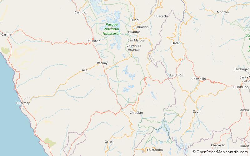
Map
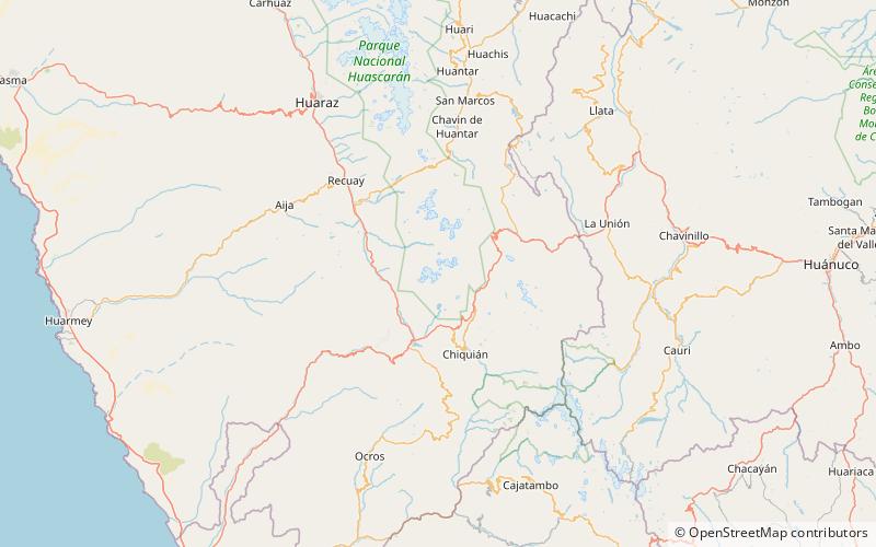
Map
Facts and practical information
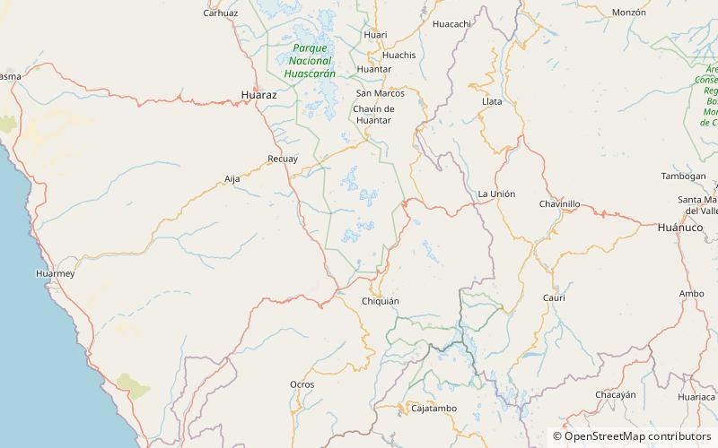
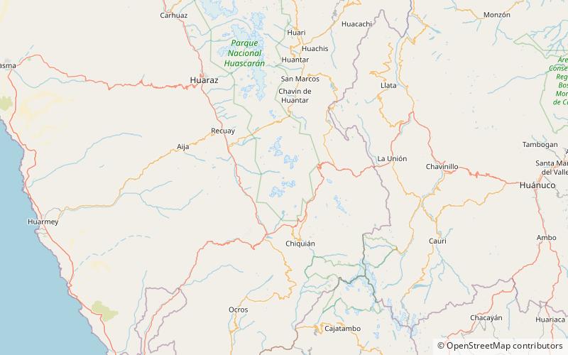
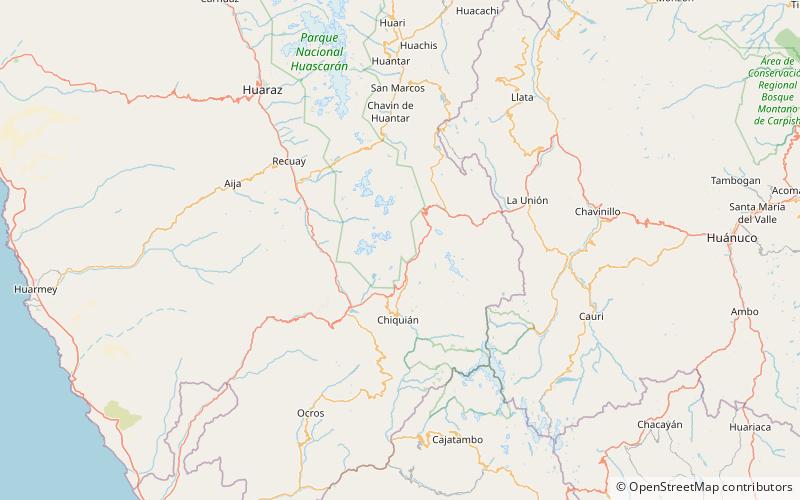
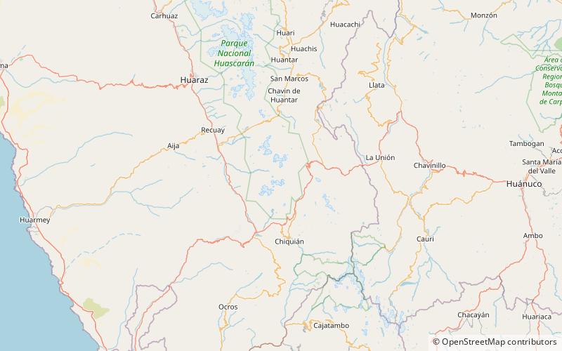
The Pastoruri glacier is a cirque glacier, located in the southern part of the Cordillera Blanca, part of the Andes mountain range, in Northern Peru in the Ancash region. It is one of the few glaciers left in the tropical areas of South America. ()
Address
Huascarán National Park
ContactAdd
Social media
Add
Day trips