Matagaga, Huascarán National Park
Map
Map

Facts and practical information
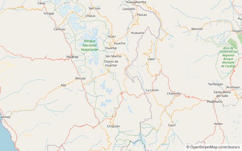
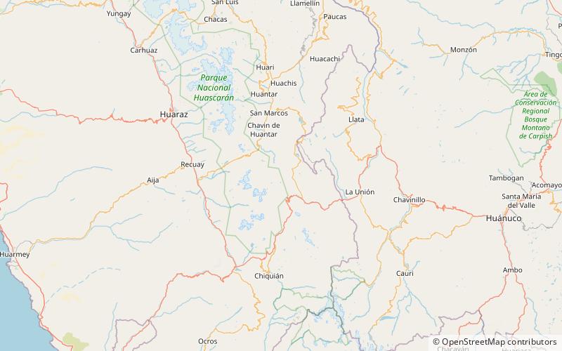
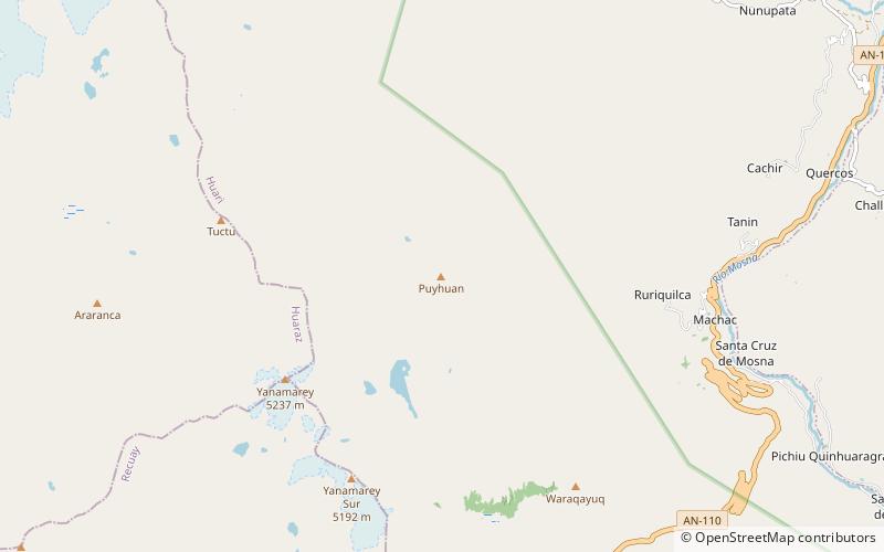
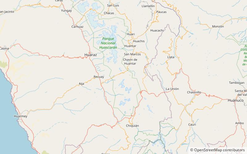
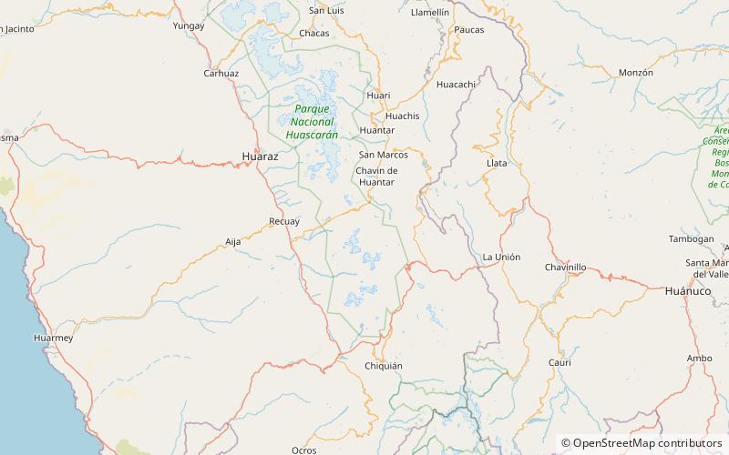
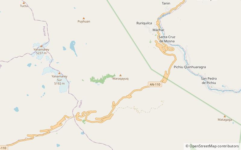
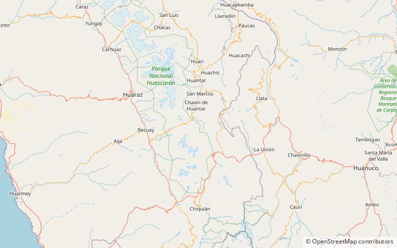
Matagaga is a mountain on the eastern extensions of the Cordillera Blanca in the Andes of Peru, about 4,400 metres high. It is situated in the Ancash Region, Huari Province, Chavin de Huantar District. Mata Qaqa lies east of the Rangracancha valley and northeast of the Challhua valley. The Mosna River flows along its northern slopes. ()
Elevation: 14436 ftCoordinates: 9°41'20"S, 77°9'55"W
Address
Huascarán National Park
ContactAdd
Social media
Add
Day trips
Matagaga – popular in the area (distance from the attraction)
Nearby attractions include: Yanaqucha, Ichic Challhua, Puyhuan, Shahuanga Punta.

