Puyhuan, Huascarán National Park
#139 among attractions in Huascarán National Park
Facts and practical information
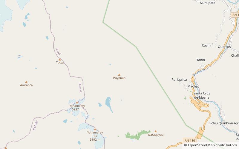
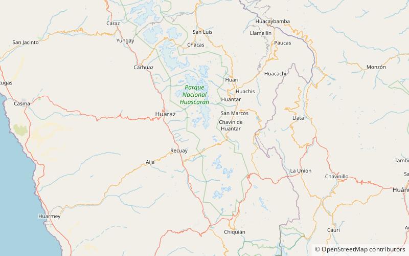
Puyhuan is a 4,980-metre-high mountain in the Cordillera Blanca in the Andes of Peru. It is situated in the Ancash Region, Huari Province, Chavín de Huantar District. Puyhuan lies northwest of Huaracayoc, northeast of Yanarahu and southeast of Tuctu. ()
Huascarán National Park Peru
Puyhuan – popular in the area (distance from the attraction)
Nearby attractions include: Lake Allpacocha, Lanzón, Pucaraju, Museo Nacional de Chavín.
 Lake
LakeLake Allpacocha, Chavín de Huántar
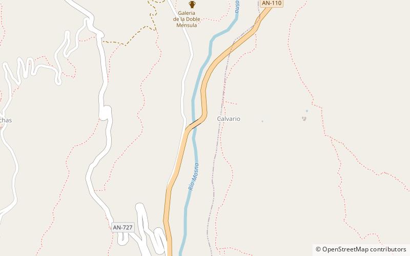
133 min walk • Lake Allpacocha, Lake Japracocha or Lake Japrucocha is a lake in the Cordillera Blanca in the Andes of Peru. It is situated in the Ancash Region, Huari Province, in the southeast of the Chavín de Huantar District.
 Museum, Art gallery
Lanzón, Chavín de Huántar
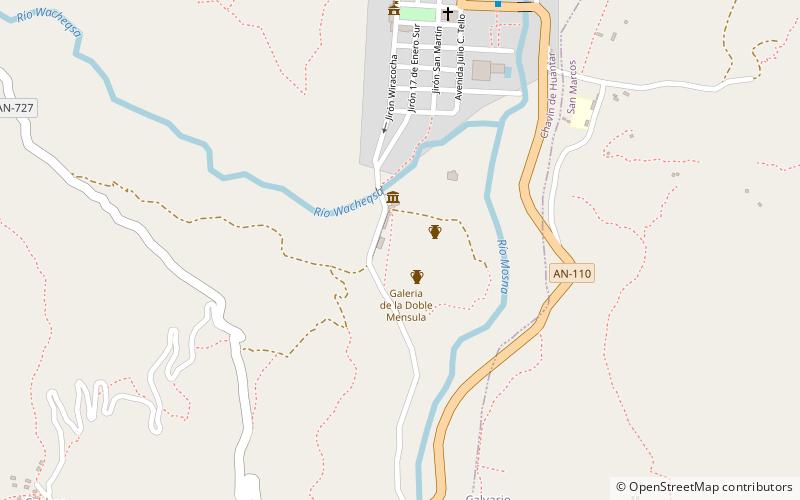
137 min walk • The Lanzón is a granite stela that is associated with the Chavín culture. It is located in the Old Temple of Chavin de Huantar which rests in the central highlands of Peru. The Chavín religion was the first major religious and cultural movement in the Andes mountains, flourishing between 900 and 200 BCE.
 Nature, Natural attraction, Mountain
Pucaraju, Huascarán National Park
135 min walk • Pucaraju is a mountain in the Cordillera Blanca in the Andes of Peru, about 5,346 metres high or 5,322 metres high depending on the source. It is situated in the Ancash Region, Recuay Province, Ticapampa District. Pucaraju lies west of Yanamarey and northeast of Lake Querococha.
 Museum, History museum
Museo Nacional de Chavín
155 min walk • The National Museum of Chavín is a Peruvian museum of archaeology, located in the district of Chavín de Huántar. The museum is mainly dedicated to the Chavín culture and was inaugurated on July 18, 2008.
 Nature, Natural attraction, Mountain
Yanamarey, Huascarán National Park
57 min walk • Yanamarey or Yanaraju is a mountain in the Cordillera Blanca in the Andes of Peru, about 5,237 metres high. It is located between Recuay and Huari provinces, in Ancash. Yanamaray lies east of Pucaraju and northeast of Lake Querococha, between Matashcu in the north and Cahuish in the south.
 Nature, Natural attraction, Mountain
Rocotopunta, Huascarán National Park
167 min walk • Rocotopunta is a mountain in the Cordillera Blanca in the Andes of Peru, about 4,400 m high. It is located in the Ancash Region, Recuay Province, Ticapampa District, northeast of Lake Querococha.
 Nature, Natural attraction, Mountain
Cahuish, Huascarán National Park
83 min walk • Cahuish is a mountain in the Cordillera Blanca in the Andes of Peru, about 4,900 metres high. It is situated in the Ancash Region, Huari Province, Chavin de Huantar District, and in the Recuay Province, Ticapampa District.
 Nature, Natural attraction, Mountain
Matagaga, Huascarán National Park
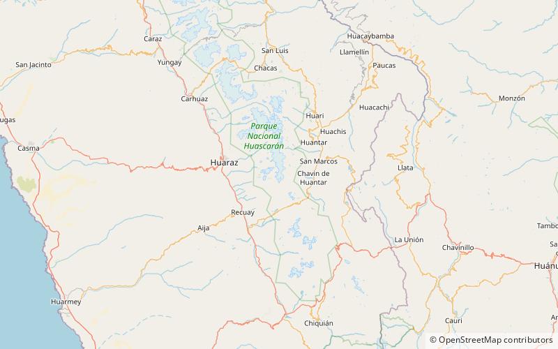
171 min walk • Matagaga is a mountain on the eastern extensions of the Cordillera Blanca in the Andes of Peru, about 4,400 metres high. It is situated in the Ancash Region, Huari Province, Chavin de Huantar District.
 Nature, Natural attraction, Mountain
Uruashraju, Huascarán National Park
152 min walk • Uruashraju or Verdecocha is a mountain in the Cordillera Blanca of the Andes of Peru, about 5,722 metres high. It is located in the Ancash Region, Huaraz Province, Olleros District, and in the Huari Province, Chavín de Huantar District.
 Nature, Natural attraction, Mountain
Rúrec, Huascarán National Park
159 min walk • Rúrec, also spelled Rurec, is a 5,700-metre-high mountain in the southern part of the Cordillera Blanca in the Andes of Peru. It is located in the Ancash Region, Huaraz Province, Olleros District, and in the Huari Province, Chavín de Huantar District.
 Nature, Natural attraction, Mountain
Tuctopunta, Huascarán National Park
138 min walk • Tuctopunta is a 5,343-metre-high mountain in the Cordillera Blanca in the Andes of Peru. It is located in the Ancash Region, Huaraz Province, Olleros District. Tuctopunta lies northwest of Tuctu and southwest of Uruashraju and Arhuay.