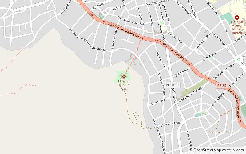
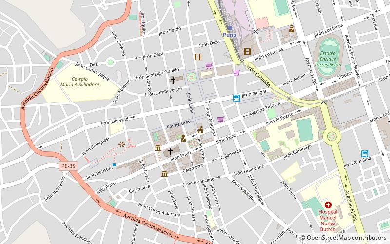
Parque Pino, Puno
Map
Facts and practical information
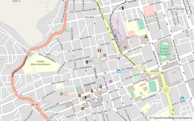
Parque Pino is a place located in Puno (Puno region) and belongs to the category of park, relax in park.
It is situated at an altitude of 12612 feet, and its geographical coordinates are 15°50'16"S latitude and 70°1'41"W longitude.
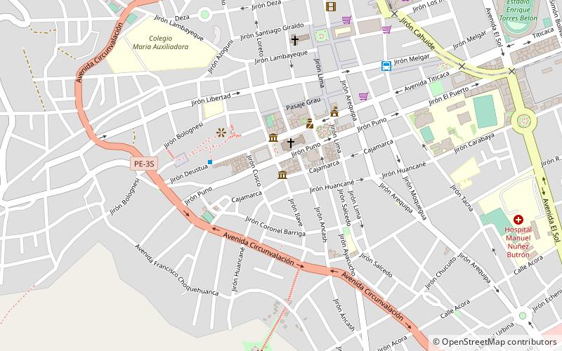
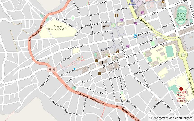
Among other places and attractions worth visiting in the area are: Misión Del Lago Titicaca (cultural tours, 4 min walk), Museo Carlos Dreyer (specialty museum, 6 min walk), Cathedral Basilica of St. Charles Borromeo (church, 6 min walk).
Elevation: 12612 ft a.s.l.Coordinates: 15°50'16"S, 70°1'41"W
Address
Puno
ContactAdd
Social media
Add
Day trips

Frequently Asked Questions (FAQ)
Which popular attractions are close to Parque Pino?
Nearby attractions include Misión Del Lago Titicaca, Puno (4 min walk), Museo Carlos Dreyer, Puno (6 min walk), Cathedral Basilica of St. Charles Borromeo, Puno (6 min walk), Coca & Customs Museum, Puno (8 min walk).