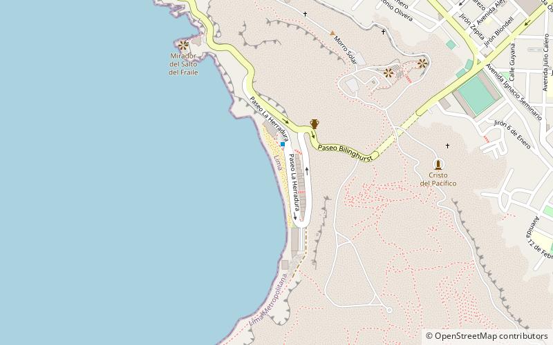
Playa La Herradura, Lima
Facts and practical information
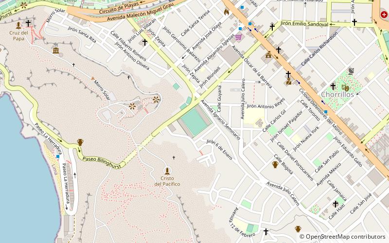
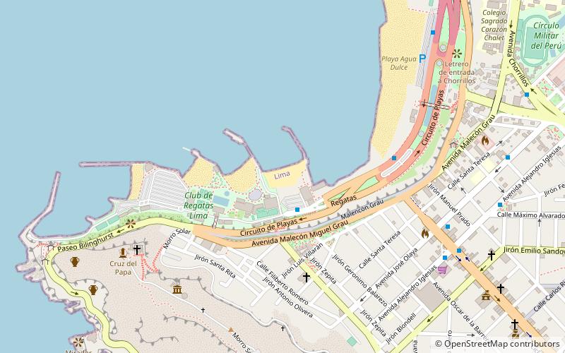
Playa La Herradura (address: Circuito de Playas) is a place located in Lima (Lima Province province) and belongs to the category of beach.
It is situated at an altitude of 13 feet, and its geographical coordinates are 12°10'28"S latitude and 77°2'2"W longitude.
Planning a visit to this place, one can easily and conveniently get there by public transportation. Playa La Herradura is a short distance from the following public transport stations: Playa Herradura (bus, 2 min walk).
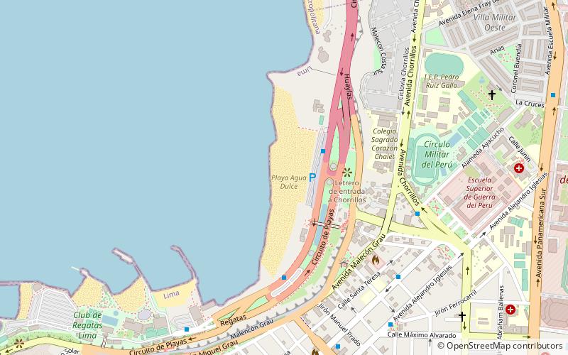
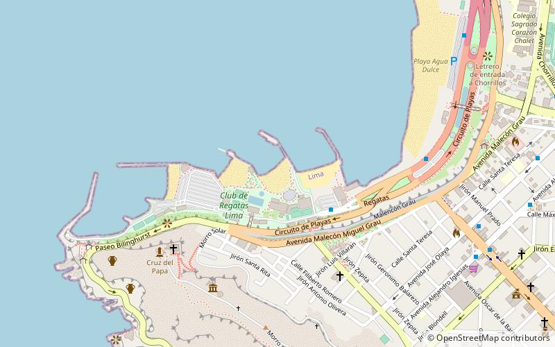
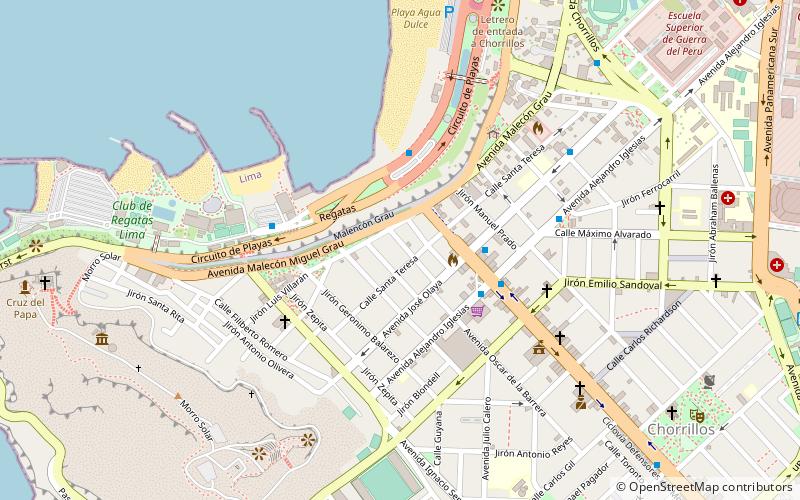
Among other places and attractions worth visiting in the area are: Cristo del Pacífico (historical place, 9 min walk), Planetarium (observatories and planetariums, 10 min walk), Estadio Municipal de Chorrillos (sport, 12 min walk).
Circuito de PlayasLima Sur (Chorrillos)Lima 9
- Bus
 Bus
Bus
- Calculate routePlaya Herradura 2 min walk
- Calculate routePlaya Pescadores 16 min walk
- Calculate routeOlaya 20 min walk
- Calculate routePlaya Agua Dulce 21 min walk


Frequently Asked Questions (FAQ)
When is Playa La Herradura open?
- Monday closed
- Tuesday closed
- Wednesday closed
- Thursday closed
- Friday closed
- Saturday 10 pm - 6 pm
- Sunday closed
Which popular attractions are close to Playa La Herradura?
How to get to Playa La Herradura by public transport?
Bus
- Playa Herradura • Lines: Servicio Especial - Circuito de Playas (2 min walk)
- Playa Pescadores • Lines: Servicio Especial - Circuito de Playas (16 min walk)