Playa Agua Dulce, Lima
Facts and practical information
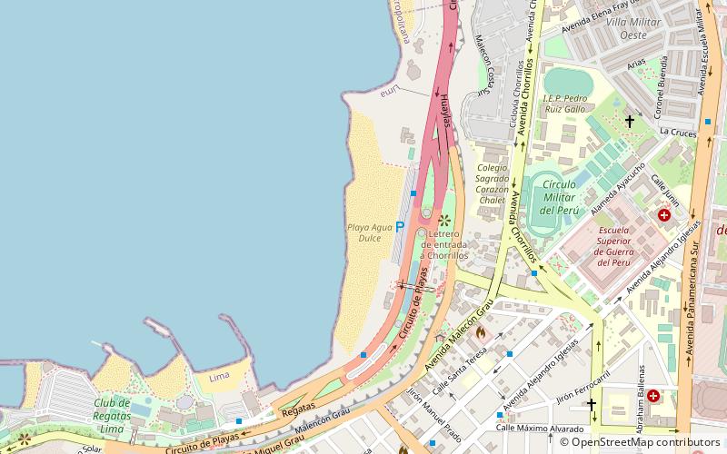
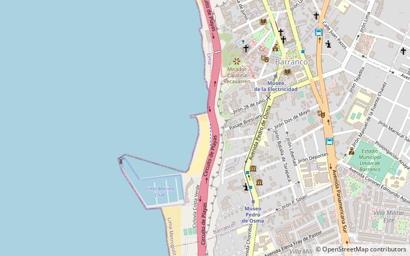
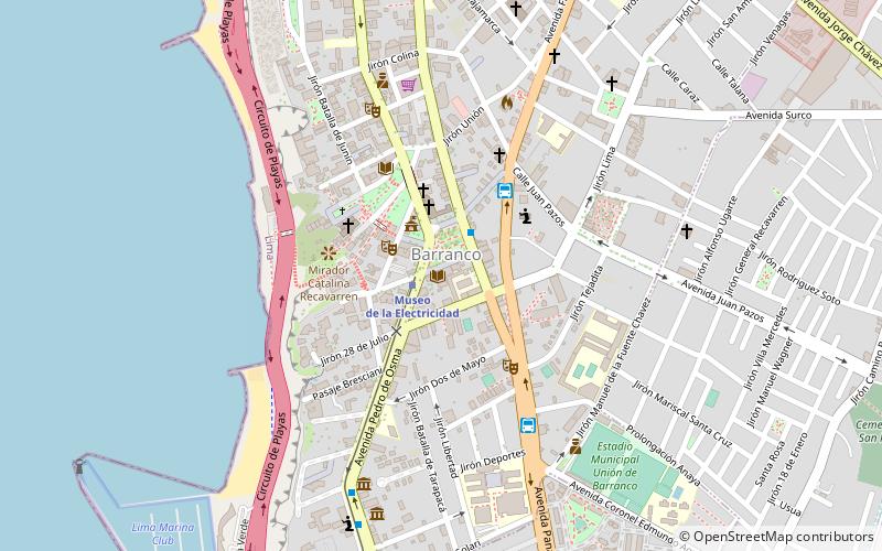
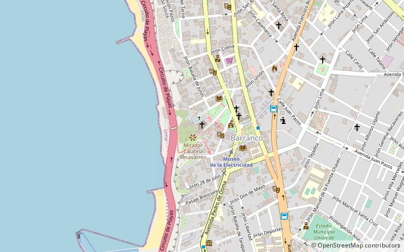
Playa Agua Dulce (address: costa verde chorrillos) is a place located in Lima (Lima Province province) and belongs to the category of beach, outdoor activities, park.
It is situated at an altitude of 7 feet, and its geographical coordinates are 12°9'44"S latitude and 77°1'38"W longitude.
Planning a visit to this place, one can easily and conveniently get there by public transportation. Playa Agua Dulce is a short distance from the following public transport stations: Playa La Sombrilla (bus, 3 min walk), Museo Pedro de Osma (train, 14 min walk).
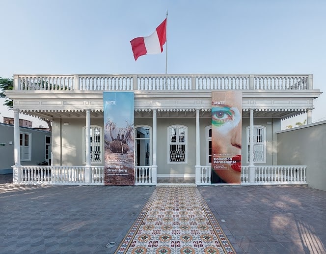
Among other places and attractions worth visiting in the area are: Playa El Pescador (beach, 9 min walk), Galería Delbarrio (museum, 9 min walk), Las Sombrilla (beach, 10 min walk).
costa verde chorrillosLima Sur (Chorrillos)Lima
- Bus
- Train
 Bus
Bus
- Calculate routePlaya La Sombrilla 3 min walk
- Calculate routePlaya Agua Dulce 6 min walk
- Calculate routeOlaya 10 min walk
- Calculate routePlaya Pescadores 10 min walk
- Calculate routeMuseo Pedro de Osma 14 min walk
- Calculate routeMuseo de la Electricidad 23 min walk


Frequently Asked Questions (FAQ)
Which popular attractions are close to Playa Agua Dulce?
How to get to Playa Agua Dulce by public transport?
Bus
- Playa La Sombrilla • Lines: Servicio Especial - Circuito de Playas (3 min walk)
- Playa Agua Dulce • Lines: Servicio Especial - Circuito de Playas (6 min walk)
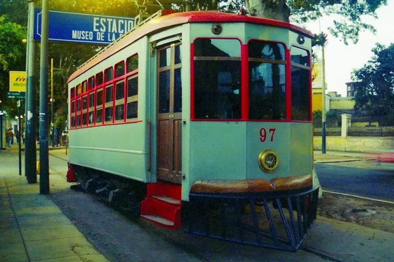
Train
- Museo Pedro de Osma (14 min walk)
- Museo de la Electricidad (23 min walk)