Puma Puñunan

Map
Facts and practical information
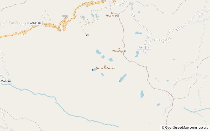
Puma Puñuna is a mountain in the Cordillera Negra in the Andes of Peru which reaches a height of approximately 4,600 m. It lies in the Ancash Region, Aija Province, Aija District, southwest of Wank'ap'iti. ()
Elevation: 15092 ftCoordinates: 9°47'54"S, 77°32'2"W
Location
Ancash
ContactAdd
Social media
Add
Day trips
Puma Puñunan – popular in the area (distance from the attraction)
Nearby attractions include: Wank'ap'iti, Puka Hirka, Sach'a Hirka, Puca Allpa.


