Puca Allpa

Map
Facts and practical information
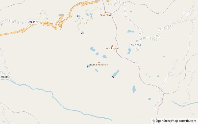
Puca Allpa or Puka Allpa is a mountain in the Cordillera Negra in the Andes of Peru, about 4,800 m high. It is situated in the Ancash Region, Aija Province, Aija District, and in the Recuay Province, on the border of the districts of Recuay and Ticapampa. Puca Allpa lies between Wank'ap'iti in the southeast and Pucairca in the northwest. ()
Elevation: 15748 ftCoordinates: 9°45'51"S, 77°31'46"W
Location
Ancash
ContactAdd
Social media
Add
Day trips
Puca Allpa – popular in the area (distance from the attraction)
Nearby attractions include: Wank'ap'iti, Puka Hirka, Sach'a Hirka, Puma Wayin.


