Utkhuqaqa
Map
Facts and practical information
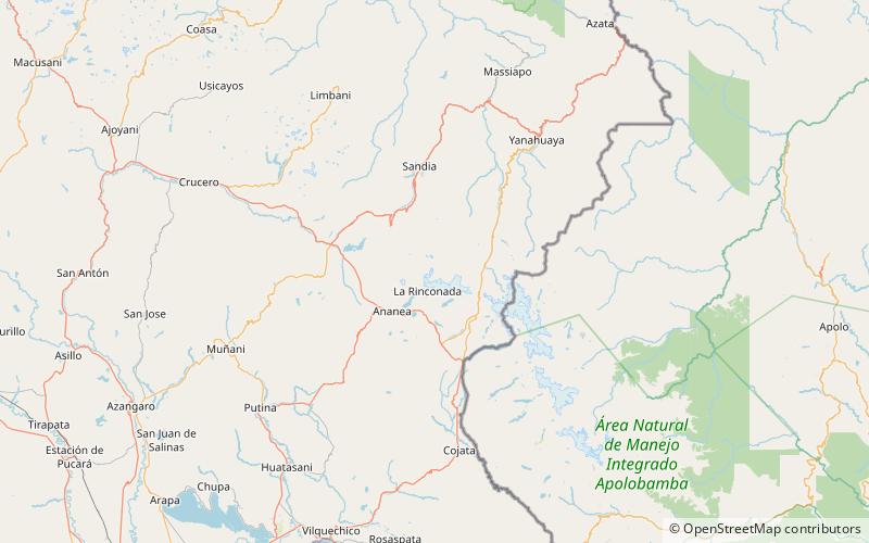
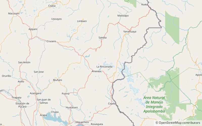
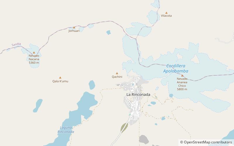
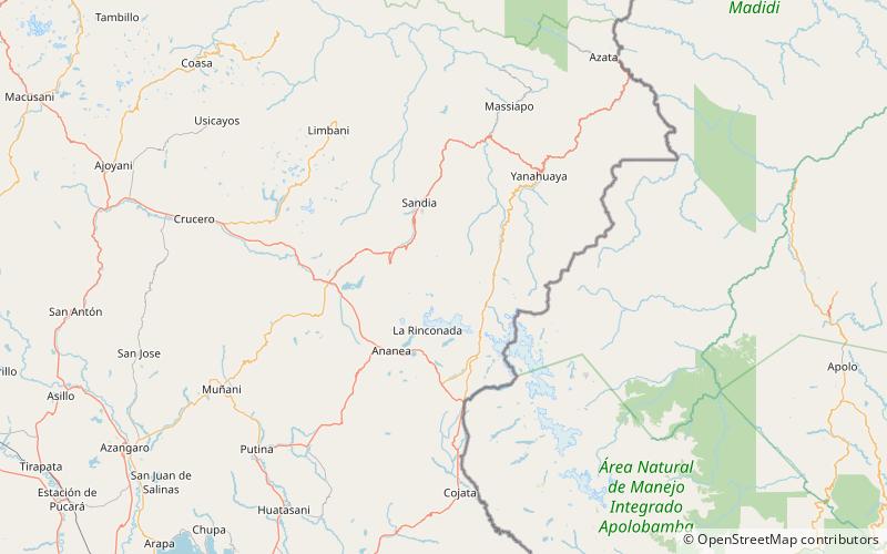
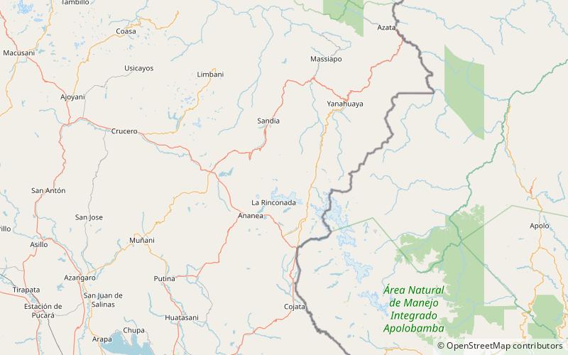
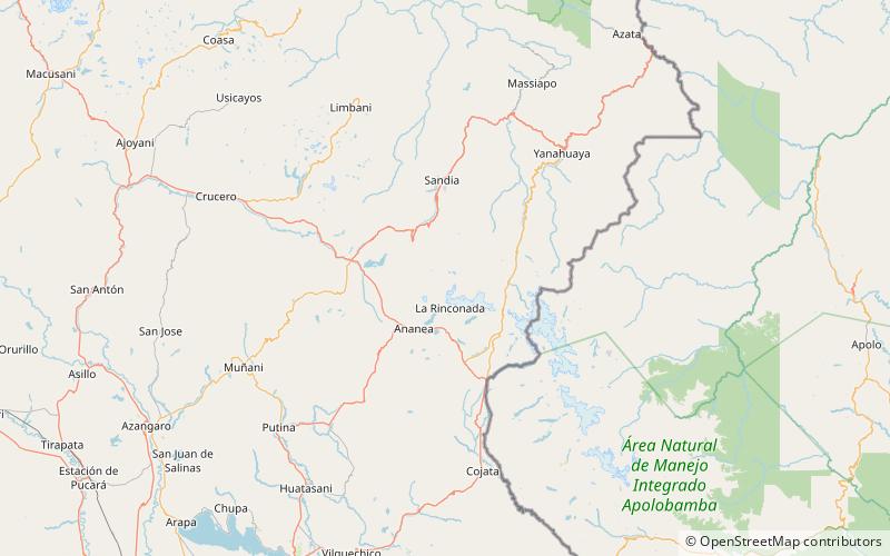
Utkhuqaqa or Utkhu Qaqa is a 5,049-metre-high mountain in the Apolobamba mountain range in the Andes of Peru. It is located in the Puno Region, Sandia Province, Cuyocuyo District. It lies northwest of the mountain Wilaquta and northeast of Qurwari and Janq'u Uma. Little streams named Qullqipirwa, Janq'u Uma and Utkhuqaqa flow along its slopes. They are the origin of the river Lawa Lawani which runs to the north. It belongs to the watershed of the Inambari River. ()
Elevation: 16565 ftCoordinates: 14°33'21"S, 69°27'29"W
Location
Puno
ContactAdd
Social media
Add
Day trips
Utkhuqaqa – popular in the area (distance from the attraction)
Nearby attractions include: Wilaquta, Qurwari, Qachini, K'ayrani.
