Pucaorjo
Map

Map

Facts and practical information
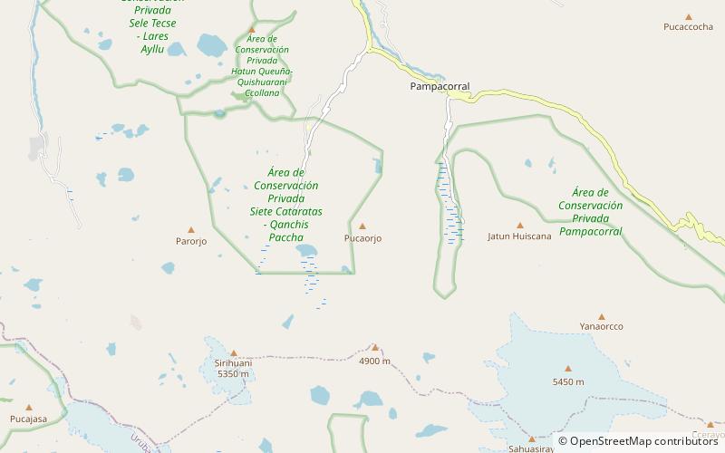
Pucaorjo is a 4,776-metre-high mountain in the Urubamba mountain range in the Andes of Peru. It is situated in the Cusco Region, Calca Province, Lares District. Pucaorjo is situated northeast of Sirihuani, northwest of Sahuasiray and east of Parorjo, at the Lares trek. One of the nearest populated places is Quishuarani. ()
Elevation: 15669 ftCoordinates: 13°10'29"S, 72°1'13"W
Location
Cusco
ContactAdd
Social media
Add
Day trips
Pucaorjo – popular in the area (distance from the attraction)
Nearby attractions include: Queuñacocha, Sahuasiray, Sirihuani, Chicón.


