Sumpiruni

Map
Facts and practical information
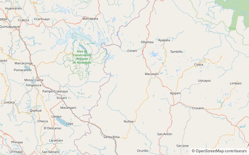
Sumpiruni is a 5,063-metre-high mountain in the Vilcanota mountain range in the Andes of Peru. It is situated in the Puno Region, Carabaya Province, Macusani District. Sumpiruni lies west of Catautira. This is where the Ninahuisa River originates. It flows along the southern slopes of Catautira before it turns to the northeast. ()
Elevation: 16611 ftCoordinates: 14°5'55"S, 70°40'20"W
Location
Puno
ContactAdd
Social media
Add
Day trips
Sumpiruni – popular in the area (distance from the attraction)
Nearby attractions include: Huilacunca, Salla Huancane, Yanacocha, Conatira.


